


Origin and End of Phoenix Heat Wave Explained
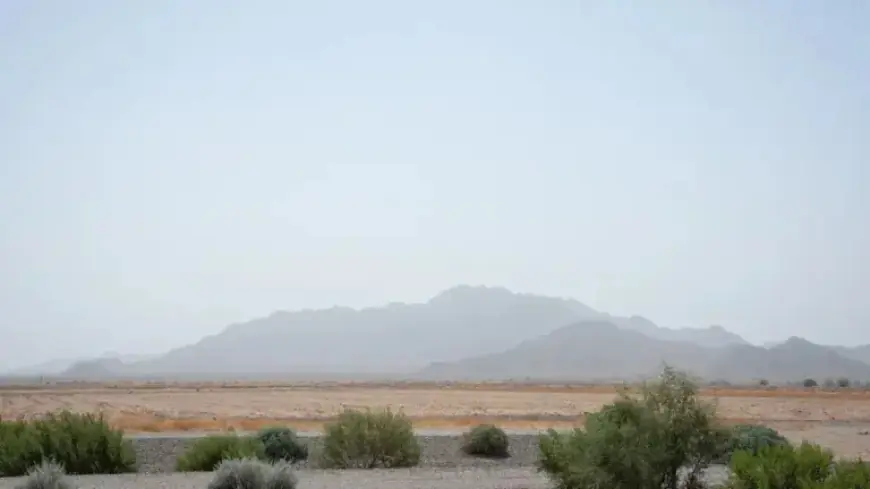
Phoenix is experiencing an unusually early and intense heat spell. Forecasts showed triple-digit readings arriving in mid-March and breaking long-standing city records.
How the heat built up
Meteorologists pointed to a strong high-pressure dome over the Western U.S. as the immediate cause. NOAA’s Weather Prediction Center flagged the pattern in a March 16 social post.
That ridge compressed cooler systems and produced dry, sinking air. The result was rapid warming across the region.
Timing and record temperatures
March 18 was forecast to reach about 102 degrees. If realized, this would be the earliest triple-digit day on record for Phoenix.
The prior earliest 100-degree day occurred on March 26, 1988. Models projected even higher readings later in the week, with March 20 and 21 likely near 106 degrees.
What scientists say about origin and end of Phoenix heat wave
Meteorologists described the origin of this Phoenix heat wave as a persistent high-pressure ridge over the West. That pattern suppressed storms and heated the air mass.
Experts said the end of the event hinges on a shift to low pressure. A deepening trough would bring cooler air and possible storms.
Climate context and attribution
Scientists emphasized that no single heat event proves climate change. They also noted rising frequency of extreme heat events over decades.
Climate Central reports Maricopa County springs have warmed about 3.9 degrees Fahrenheit since 1970. Their Climate Shift Index recorded 38 days in Phoenix likely influenced by human-driven warming as of March 10.
Researchers estimate the current Western heat pattern is at least five times more likely due to climate change. Globally, Copernicus found 2025 among the hottest years on record.
Media and public attention
Academic work shows climate coverage declined in recent years despite worsening indicators. Analysts cite newsroom cuts and audience fatigue as contributing factors.
Environmental consequences
Warm winter temperatures have accelerated snowmelt in high-elevation basins. Officials described the situation as a snow drought across parts of the West.
Colorado and Utah reported their worst snowpack since 1981. Projections placed inflow to Lake Powell near 36 percent of the 1991–2020 average.
Early loss of mountain snow raises concerns for reservoirs, river runoff, and water supply for agriculture and cities.
Fire season implications
Warmer, drier, and windier conditions may advance the start of wildfire season. Fire officials in Flagstaff began preparations unusually early, around March 10.
Public health and safety
Health experts warned that sudden spikes to triple digits threaten vulnerable residents. Those without cooling, older adults, and people with chronic illness face higher risk.
Physicians urged checking on neighbors and limiting outdoor activity during peak afternoon heat. Hydration, light clothing, and avoiding alcohol help reduce risk.
Emergency doctors cautioned that visitors and non-acclimatized people may not recognize heat illness signs. Symptoms include dizziness, nausea, headache, and excessive thirst.
Local observations and reporting
State climatologists and National Weather Service forecasters provided the primary analysis. Filmogaz.com environmental coverage consolidated these expert findings.
Funding for some environmental reporting comes from the Nina Mason Pulliam Charitable Trust.
- Earliest triple-digit forecast: March 18 (about 102°F)
- Previous earliest 100°F day: March 26, 1988
- Projected highs March 20–21: near 106°F
- Maricopa County spring warming since 1970: +3.9°F
- Climate Shift Index days in Phoenix as of March 10: 38
- Lake Powell inflow projection: ~36% of 1991–2020 average


