


Colder Trend Hits Before Weekend Warm-Up and Showers
Temperatures fell sharply across Connecticut early today. Some locations are about 25 degrees colder than yesterday at this hour.
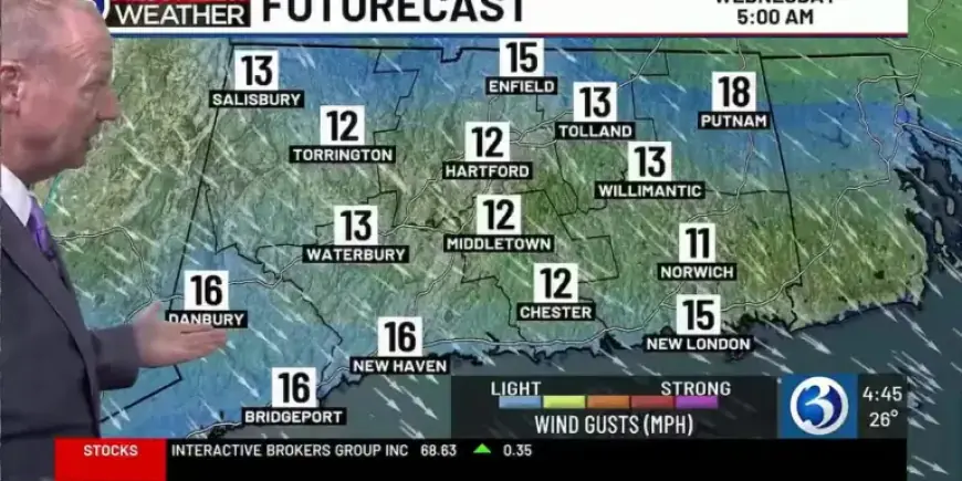
Most spots should bottom out between 20 and 25 degrees overnight. Normal lows for the Hartford area are around 29, with northwest and northeast towns dipping into the teens.
Short-term forecast
Wednesday will be dry and noticeably chilly. The wind will ease, so upper-30s readings will not feel as raw.
Thursday is expected near seasonable with a mix of sun and clouds. A weak disturbance may bring isolated rain or snow showers at night, but no major impacts are expected for the Friday morning commute.
Friday marks the astronomical start of spring at 10:46 a.m. The day begins bright, then clouds increase and afternoon highs reach near or above 50 degrees.
Weekend outlook
Forecast models suggest the weekend could be bookended by showers. Look for rain early Saturday and again late Sunday, with dry intervals between systems.
Both weekend days should be breezy with highs in the 50 to 55 degree range. A colder trend hits before a weekend warm-up and returning showers.
Early next week
A cold front will clear Connecticut early Monday. Any lingering showers should end and sunshine will return later that day.
Highs on Monday will climb into the mid-40s. Tuesday looks dry and bright with similar temperatures continuing into midweek.
Notable seasonal highlights
March warmth
Bridgeport tied a March 9 record high of 64 degrees. The Hartford area reached 70 on March 9, its first 70-degree reading since October 19.
On March 10 the Hartford area set a new March 10 record of 79 degrees, topping the previous 72 from 2016. March 11 reached 74, one degree shy of that day’s record of 75.
Meteorological winter summary
Meteorological winter ran from December 1 through February 28. The season averaged 25.6 degrees, 4.1 degrees below normal.
Seasonal snowfall totaled 52.3 inches, about 13.2 inches above average. Bridgeport reported 55.9 inches, roughly 31.2 inches above its average.
Blizzard Calvin
Three NWS sites in Connecticut met blizzard criteria during the late-season event. Bridgeport, New Haven, and Groton/New London reported reduced visibility and sustained high winds for at least three hours.
Shoreline totals were large, with Stonington recording 30.8 inches and Mystic reporting two feet. Wind gusts along the coast reached about 55 mph.
Winter Storm Benjamin
Winter Storm Benjamin produced the largest snowfall in Connecticut in nearly a decade. The Hartford area measured 17.3 inches, surpassing the 16.2 inches from February 2017.
Most of the state saw 12 to 20 inches, with Falls Village reporting 22.0 inches. Snow intensified on Sunday, January 25, with rates of 1 to 2 inches per hour and single-digit air temperatures.
Seismic event near Moodus
On January 7 at 5:36 p.m., a seismometer at the East Haddam Historical Society Museum recorded a small quake. The USGS located it one mile south of Moodus at a depth of 5.6 miles and magnitude 1.9.
These local tremors are associated with the historic “Moodus Noises.” The event was minor and caused no reported damage.
Annual 2025 climate summary
The calendar year averaged 51.5 degrees, 0.5 degrees above normal. Total precipitation was 46.63 inches, about 0.42 inches below the Hartford area average of 47.05 inches.
Snowfall for the year was 27.2 inches, well below the average of 51.7 inches. Connecticut reported zero confirmed tornadoes, the first time since 2017.
Winter Storm Abraham
Winter Storm Abraham brought the first significant snowfall of the season. Snow began the evening of December 26 and continued into the morning of December 27.
Many locations saw more than six inches. Top reports included New Milford 10.5 inches and New Preston 9.9 inches.
December 19 wind and warmth
A strong southerly flow on December 19 produced widespread gusts over 60 mph. Groton recorded 67 mph, Willimantic 64 mph, Middletown 63 mph, and Berlin 60 mph.
About an inch of rain fell statewide. Bradley Airport reached 58 degrees, beating the previous December 19 record of 54 from 1949, while Bridgeport tied a record of 57 from 1967.
December 5 cold snap
An Arctic air mass drove lows into the single digits and teens on December 5. Bridgeport set a new daily record low of 15 degrees, breaking the 1989 mark.
The Hartford area dipped to 5 degrees, near historical lows for early December. Roads and facilities faced frigid conditions during the event.
December 2 coastal storm
A coastal storm on December 2 brought a complex mix of precipitation. Snow fell along and northwest of I-84, with 5.0 inches in Canaan and 4.0 inches in Simsbury.
Bradley Airport recorded its first measurable snow of the season at 2.4 inches. Shoreline towns experienced mainly rain, and roads were slick with numerous spin-outs and crashes.
Late October rain and wind
Low pressure on October 30–31 produced significant rainfall and gusty winds. Hamden saw 3.99 inches, Waterbury 3.94 inches, and Bristol 3.26 inches.
Bridgeport recorded a 52 mph gust at BDR, while many towns experienced gusts between 40 and 50 mph across both days.
Summer and July highlights
August 2025 finished cooler than normal at 69.6 degrees, 2.9 degrees below average. Bradley measured 2.45 inches of rain, making August the first month below normal since November 2023.
Bridgeport experienced its driest summer on record with just 3.85 inches of rainfall. July was notably wet at Bradley, with 7.81 inches and the month ranking among the wettest on record.
Heat waves and severe storms
Connecticut saw multiple heat waves during 2025. The June heat event included consecutive record highs, and late July produced a three-day stretch of 91 to 96 degree readings.
Severe storms affected the state in July. On July 3, over 27,500 customers lost power, and golfball-size hail was reported in Sterling.
Filmogaz.com will continue tracking conditions and updating forecasts as systems evolve. Check for updates before travel and outdoor plans.


