


Las Vegas Weather: Valley Braces for Early Heat Wave as Records Loom Next Week
las vegas weather is trending sharply warmer heading into next week, with a dry, unseasonably warm weekend followed by an intense heat wave expected to bring record-breaking temperatures. Forecast guidance points to high pressure staying overhead, keeping skies mainly clear to partly cloudy while pushing daytime highs well above the average high of 70°.
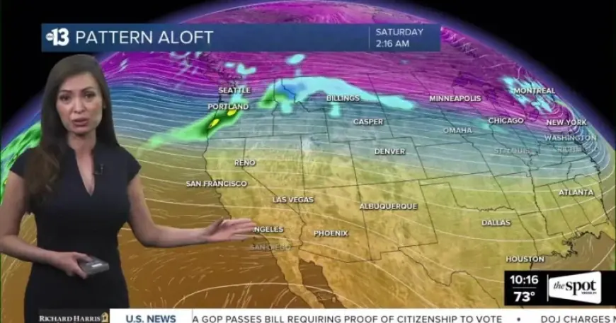
Warm, Dry Weekend Ahead With Breezy Periods
Southern Nevada’s weekend forecast calls for continued dry conditions and temperatures running far above normal. Tonight is expected to be partly cloudy with a low of 61° and southwest winds at 5–10 mph.
Saturday is forecast to be partly cloudy with a high of 89° and northwest winds at 5–15 mph with gusts to 20 mph. The high could tie the daily record of 89°, with breezy conditions at times.
Sunday’s forecast turns mostly sunny with a high of 83° and north winds at 5–15 mph with gusts to 20 mph, keeping the pattern warm but slightly cooler than Saturday while still well above average.
Record Heat Expected to Begin Tuesday
The larger story in las vegas weather is the early-season heat wave expected to ramp up early next week. Record heat is forecast to begin Tuesday and continue through the week, with temperatures projected to move decisively into record territory.
Forecast highs and daily records listed for the upcoming week include:
- Saturday: 89° (Record 89°)
- Sunday: 83° (Record 88°)
- Monday: 87° (Record 89°)
- St. Patrick’s Day: 92° (Record 91°)
- Wednesday: 96° (Record 90°)
- Thursday: 97° (Record 90°)
- Friday: 98° (Record 90°)
The forecast notes that the hottest temperature on record in March is 93° (set in March 2022) and that this record is expected to be broken during the upcoming heat wave.
What’s Driving the Heat and What to Watch Next
The warm pattern is being fueled by high pressure remaining overhead, a setup that typically supports sinking air, limited cloud cover, and above-normal temperatures. While skies are expected to range from partly cloudy to mostly sunny through the weekend, winds could be breezy at times, especially during the afternoons.
With record heat forecast to build starting Tuesday and intensify through the week, the key factors to watch will be how quickly temperatures climb and whether forecast highs verify near the upper end of the outlook—particularly midweek when several daily records are listed well below the projected highs.
Officials and forecasters are urging residents to stay safe as the heat strengthens next week, especially as the valley transitions from an unseasonably warm weekend into what’s being described as an intense early heat wave.


