


Wind Alerts Spread From Rochester to Central Illinois
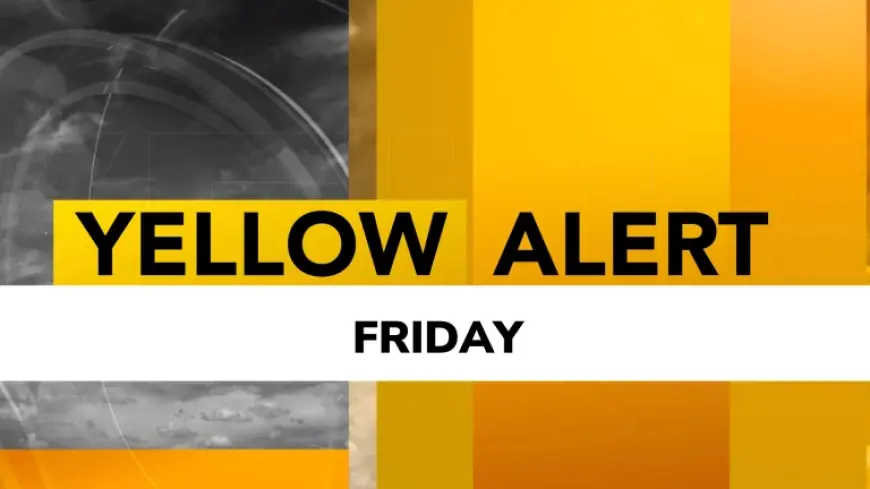
A Yellow Alert is posted for Friday evening and night in the Rochester, N. Y. region, with High Wind Warnings for Genesee and Wyoming counties and Wind Advisories elsewhere; meanwhile a powerful storm system will move into central Illinois Sunday and Monday bringing gusty southerly wind and a rapid rain-to-snow changeover. The two systems together create an extended period of elevated wind risk across parts of the Midwest and upstate New York.
Wind Alerts for Genesee County
High Wind Warnings are posted for Genesee and Wyoming counties, with gusts of 50–60 mph expected there and Wind Advisories elsewhere that could see gusts of 45–50 mph on Friday evening and night. The figures point to localized infrastructure stress where 50–60 mph gusts are forecast, raising the likelihood of downed branches and isolated power outages in the warned counties.
Snow and Lake Erie Effects
Snow will arrive Friday morning as a wet mix that changes to rain during the afternoon, with roughly an inch of accumulation possible on grassy surfaces and temperatures rising toward 40 degrees; lake effect snow will develop Friday night into Saturday morning, producing a couple of inches into Wyoming County and higher elevations of Livingston County. The pattern suggests the wet snow will have minimal road impact initially because surface temperatures will warm, but localized lake-effect bands could produce measurable accumulations in elevated terrain overnight.
Storm Threat in Central Illinois
A separate powerful storm system will move into central Illinois Sunday morning and continue through Monday, bringing thunderstorms, gusty southerly winds that push temperatures into the upper 50s and lower 60s, then a rapid drop and a change from rain to wind-driven snow Sunday evening. The combination of strong winds and heavy, wind-driven snow could lead to blowing snow and near-blizzard conditions at times, and rainfall totals in central Illinois are expected to be between 0. 50 and 1. 00 inch before the changeover.
Sunday is the next confirmed milestone for both threads: another strong storm will move in for the Rochester region and the powerful system will begin affecting central Illinois that morning. If the central Illinois changeover to wind-driven snow occurs Sunday evening, the data suggests roads could freeze and become snow-covered as temperatures fall into the 20s and teens while strong winds increase the risk of limited visibility and difficult travel conditions.


