


Winter Storm Warning Not Issued Yet for Metro Detroit as Watch Focus Shifts to Wind and Weekend Snow
Metro Detroit is not under a winter storm warning or winter storm watch as of Thursday afternoon, even as forecasters warn that colder air, accumulating snow and powerful winds are set to return to Southeast Michigan after this week’s earlier warm spell.
The most immediate alert in the Detroit area is a High Wind Watch for Friday, with southwest wind gusts potentially reaching 50 to 55 mph. That means the biggest near-term concern around the city is not a winter storm warning yet, but a burst of strong wind followed by additional chances for snow heading into the weekend.
What WDIV and the National Weather Service Are Highlighting Now
The current weather story in Southeast Michigan has shifted quickly over the past 48 hours.
After heavy rain and springlike warmth earlier this week, local forecasters are now pointing to a sharp change. The National Weather Service office in Detroit/Pontiac says accumulating snow is likely overnight into Friday morning in parts of the region, while WDIV has emphasized that snow, rain and strong winds are all back in the forecast as temperatures swing lower again.
That combination has fueled search interest around terms like “winter storm warning” and “winter storm watch,” but for Metro Detroit the active headline remains the wind watch rather than a full winter storm alert.
Why There Is Confusion Over Warning Versus Watch
Part of the confusion is geographic.
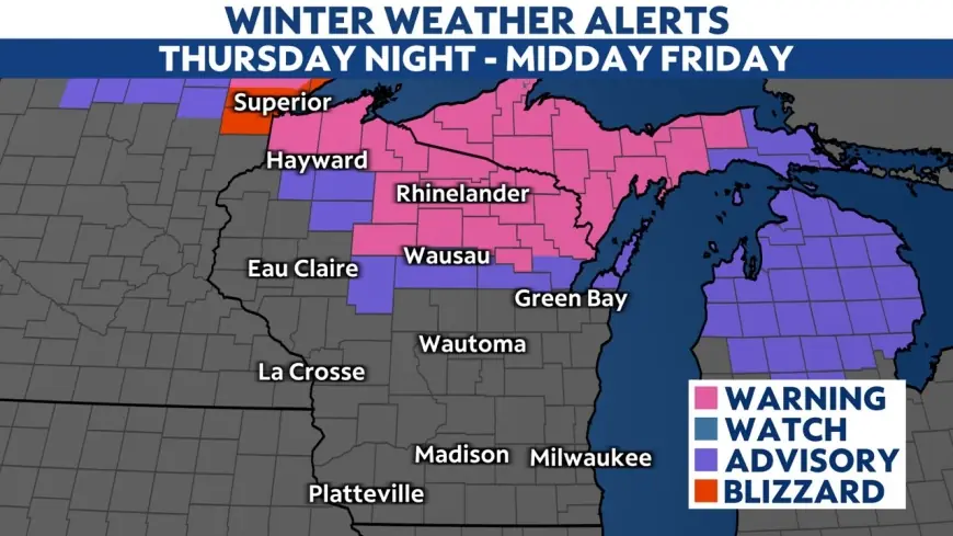
Some parts of Michigan are seeing winter weather advisories and stronger snow-focused alerts, especially farther north and west, where snowfall rates and blowing snow are expected to be more intense. In Southeast Michigan, though, the official messaging is more mixed: some snow is expected, but the strongest concern for Friday is the wind.
That means residents searching for a winter storm warning in Detroit may be finding broader Michigan storm coverage and assuming the same alert applies locally. At this point, it does not.
What Southeast Michigan Can Expect Next
Forecasters say Friday could bring strong southwest winds across the region, with gusts capable of causing travel issues, scattered power outages and loose outdoor objects to blow around.
Beyond Friday, another round of accumulating snow is possible Saturday night into early Sunday, followed by the chance of thunderstorms later Sunday and another surge of strong wind into Monday as colder air moves in. That evolving setup is one reason weather coverage has become more urgent, even without a winter storm warning already posted for Metro Detroit.
The forecast remains highly changeable because the weekend system still has room to shift in track and intensity.
What a Winter Storm Watch Would Mean if One Is Issued Later
If forecasters do upgrade parts of Southeast Michigan into a winter storm watch later, that would signal increased confidence in a more disruptive snow or ice event within the next day or two.
A warning would go a step further, meaning dangerous winter weather is either imminent or already occurring. For now, Metro Detroit has not reached that stage. The current messaging is more about preparing for wind, watching for forecast changes and staying alert to possible snow-related updates as the weekend gets closer.
The Bottom Line for Detroit-Area Residents
The latest update is straightforward: Metro Detroit does not currently have a winter storm warning in effect, and the main official alert for Friday is a High Wind Watch.
That does not mean the weather threat is minor. It means the storm risk is arriving in phases, with wind as the first major concern and snow still in play as the weekend forecast develops. For anyone in Southeast Michigan tracking WDIV and National Weather Service updates, the key now is not a winter storm warning already in place, but whether the next round of forecast updates turns the weekend system into something more serious.


