


Tornado Tracker: Deadly Tuesday Severe Storms Leave Trail of Destruction as Weather Forecast Shifts East
A catastrophic severe weather outbreak that began Tuesday night has left communities across the Midwest reeling, with the tornado tracker still active as the storm system pushes toward the East Coast and Gulf Coast Thursday. The weather today marks the aftermath of one of the most violent storm events of 2026, with millions still under threat.
Tuesday Tornado Outbreak: What the Storm Prediction Center Recorded
Dangerous storms with tornadoes and giant hail tore across the Central US overnight Tuesday into Wednesday, killing at least two people. The scale of the destruction stunned emergency responders from Texas to Indiana.
The parent thunderstorm that produced tornadoes in northern Illinois and northern Indiana persisted for more than seven hours, along a 200-mile path. At least 16 tornado reports were made across Texas, Illinois, and Indiana. The Storm Prediction Center tracked the event as one of the most significant severe storms outbreaks of the year.
A long-lasting supercell spawned multiple tornadoes as it tracked across Illinois and Indiana, including one that ripped through Kankakee and Aroma Park, Illinois. This twister was preliminarily rated EF-3 by the National Weather Service.
Lake Village Indiana and South Bend Weather Take Direct Hit
An elderly couple were killed in Lake Village, Indiana — Ed and Arleen Kozlowski, married more than 60 years and in their 80s — after a tornado struck the rural community about an hour south of Chicago.
At its peak, Northern Indiana Public Service Company reported more than 11,000 power outages related to the severe storms. More than 3,000 customers across three counties remain without power. Several roads in the community remain closed.
South Bend weather also faced direct threats overnight Tuesday. The National Weather Service in Northern Indiana issued a Tornado Warning for Southern St. Joseph County, with a severe thunderstorm capable of producing a tornado located over North Liberty, moving northeast at 30 mph, with hail up to two inches in diameter reported.
Today Weather Forecast and Local Weather for South Bend After Tuesday's Storms
The local weather in South Bend today is a sharp contrast to Tuesday's severe storms. Scattered light rain showers continue this afternoon. Ponding on the roads is expected due to Tuesday night's storms combined with today's rain. Temperatures are falling into the 30s by midafternoon with wind chills in the 20s. Some snow and sleet will mix with the rain by late day.
Tonight will be cold with a few light snow showers, with lows dropping to 28. Thursday will be chilly with some sunshine and highs near 43. The severe storm window has closed for South Bend's local weather, but cold and wet conditions persist throughout the week.
Severe Storms Weather Forecast Shifts East Today — Storm Prediction Center Issues New Watches
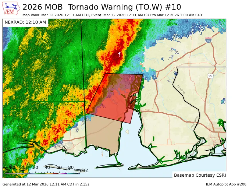
The broader weather forecast today shows the severe storms threat moving away from the Midwest. A severe weather risk took hold over the Ohio Valley, the Mid-Atlantic, and across the northern Gulf Coast. Tornado watches are in effect in east Texas, Louisiana, northern Kentucky, southeast Indiana, Ohio, West Virginia, western Maryland, and Pennsylvania through Wednesday evening. Overall, 62 million people remain at risk for severe weather in areas stretching from east Texas to southern New Jersey.
More than 18 million people from the Gulf Coast to the Mid-Atlantic are under a Level 2 of 5 threat for severe storms. Storms could pack a punch in Baltimore, Washington DC, New Orleans, Birmingham, and Atlanta. Damaging winds are the primary concern, but a few tornadoes remain possible.
Weather Today Outlook: What the Tornado Tracker Shows Going Forward
The good news in today's weather forecast is that the worst of this system is winding down. Severe storm potential will diminish Thursday as a weather pattern change begins to envelop the US.
Anyone using a tornado tracker should continue monitoring the Storm Prediction Center's active outlook maps for the Ohio Valley and Mid-Atlantic region through Thursday morning ET. Conditions remain fluid, and local weather updates from the National Weather Service are the most reliable source for real-time warning information as this system makes its final push east.


