


Severe Thunderstorm Warning Active for 55 Million as Deadly Storm System Marches East
The severe weather outbreak that killed two people in Indiana and shattered records in Illinois is not done. A fast-moving storm system is now bearing down on the Ohio Valley and Mid-Atlantic Wednesday, keeping tens of millions of Americans under active severe thunderstorm warnings and tornado watches through the evening hours.
Storm Threat Shifts East After Deadly Midwest Night
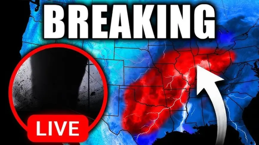
A level 2 of 5 severe thunderstorm risk is in place Wednesday for more than 55 million people stretching from Texas and Louisiana all the way to Pennsylvania, with damaging winds as the primary threat from any individual storm cell.
The severe storm threat is expanding eastward rapidly as a powerful line of thunderstorms charges through the Ohio Valley, bringing damaging winds and large hail to Ohio, West Virginia, and Kentucky. Meteorologists are calling it a two-wave event — a disorganized but dangerous morning round followed by a more intense second punch as the cold front slams into the volatile air mass later in the afternoon.
Unlike a single line of storms, forecasters are tracking two distinct waves of energy that will keep the Ohio Valley and Mid-Atlantic on high alert through late evening. Record-warm air surging ahead of the front is fueling widespread instability, with the initial round expected to impact midday commuters in Columbus, Charleston, and Pittsburgh.
Tornado Watch Expansion Possible
The Storm Prediction Center has flagged that the current tornado watch may need to be expanded farther east if storms hold their strength through the morning hours.
Forecasters warn that isolated tornadoes remain possible, with the greatest risk concentrated in the Lower Mississippi Valley and parts of Ohio, Pennsylvania, and West Virginia. Residents in East Texas and Louisiana through Mississippi and Alabama are also advised to stay weather-aware for quick-developing cells.
In North Texas, the National Weather Service in Fort Worth confirmed that showers and storms will continue Wednesday as an upper low moves overhead and a cold front pushes south. Damaging winds, hail, and a tornado or two are all possible, with heavy rain carrying an additional risk of localized flooding.
Recovery Slowed in Indiana as New Storms Arrive
Back in Lake Village, Indiana — where a violent tornado killed two people Tuesday night — the arrival of fresh severe weather is hampering rescue and damage assessment efforts. Heavy rain is preventing Indiana State Police from deploying drones over the destruction zone.
Officials in Lake Village confirmed that around 70 downed utility poles were reported across Newton County, with more than 2,500 NIPSCO customers still without power. Crews cannot fully assess the scope of structural damage until conditions allow aerial survey.
In Kankakee, Illinois, where a potentially record-breaking 6-inch hailstone was measured Tuesday, multiple roads remain closed due to fallen trees and downed power lines, with drone footage showing search teams using flashlights to move through debris-strewn neighborhoods.
What the Warnings Mean — and What Comes Next
Ohio Emergency Management Agency Public Affairs Chief Sandy Mackey drew a sharp line between the two alert levels residents are seeing on their phones Wednesday. "A watch means 'be prepared' — be ready to watch the skies. A warning, when you get a warning, that's your call to action. That means find a place to seek shelter," Mackey said, advising residents to move to an interior room on the lowest floor, away from windows and outside walls.
A ground stop was issued at Chicago's Midway airport Tuesday as a severe thunderstorm warning was active for the metro area, threatening considerable damage from large hail. Both O'Hare and Midway saw hundreds of cancellations at the height of the outbreak, with ripple effects still being felt across the national flight network Wednesday morning.
The Storm Prediction Center confirmed that severe thunderstorm potential is not expected Thursday, as the upper trough pivots east across the Eastern Seaboard and limited heating prevents stronger destabilization ahead of the trailing cold front.
Wednesday's second wave remains the last significant window for severe weather. After that, the system clears — but not before it finishes its run through one of the most densely populated corridors in the country.


