


Flood Watch Expands Across Midwest as Region Braces for Second Major Storm in Five Days
A flood watch covering more than a dozen counties in southern Michigan remains active Wednesday morning — and for a region still clearing debris from last week's deadly tornado outbreak, the timing couldn't be worse.
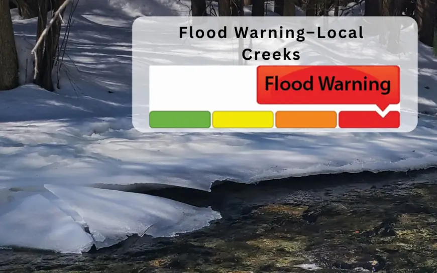
Flood Watch Michigan: Active Alerts Through Wednesday
Flood watches across Ingham, Jackson, Calhoun, Eaton, Kalamazoo, and Van Buren counties were issued Tuesday afternoon and remain in effect through Wednesday morning, with some expiring as late as 11:00 a.m. ET.
The National Weather Service warned that several rounds of thunderstorms and heavy rainfall overnight, combined with soils already saturated from weekend storms, could trigger fresh flooding in urban areas and push rivers over their banks for the second time in less than a week. The storm system brought more than just rain — thunderstorms sweeping northeast across the state carried the potential for winds up to 60 mph, quarter-sized hail, lightning, and isolated tornadoes.
A Region Already on Its Knees
The flood watch doesn't exist in a vacuum. Five days ago, the same general corridor got hit hard.
March 6 was the deadliest tornado day in Michigan since May 1980, when five people were killed by a tornado that tore through Kalamazoo. Four tornadoes touched down, all produced by a single parent supercell. The Union City EF-3 struck the northwest shore of Union Lake, destroying homes and cottages along Prairie Rose Lane and Tuttle Road, with one mobile home thrown approximately 100 yards, killing its occupant.
In Branch County, three people died and about a dozen were injured. In Cass County, a 12-year-old boy named Silas Anderson was found injured by his parents and later died at a hospital. The EF-2 that hit Three Rivers tore the roof off a Menards store and tracked nearly 11 miles through the heart of the city.
Gov. Gretchen Whitmer declared a state of emergency for Branch, Cass, and St. Joseph counties and toured the devastated areas over the weekend.
Chicago and Indiana Also Under the Gun
The flood threat stretches well beyond Michigan. The Storm Prediction Center issued a rare Level 4 out of 5 severe weather risk for a corridor from northern Illinois to northwest Indiana, with EF-3 or higher tornadoes rated as possible through Tuesday evening.
Chicago was placed under a flood watch as storm cells capable of producing rain at 1 to 2 inches per hour moved through, with rapid ponding expected on major expressways. A stationary front near the city acted as a dividing line — north of it, the primary threat was large hail; south, all hazards were active.
Portions of northern Indiana and southwest Michigan faced flash flooding from multiple rounds of showers and thunderstorms, with rainfall rates hitting 1 to 2 inches per hour possible overnight, particularly threatening urban areas with poor drainage.
What Residents Should Do Now
The National Weather Service is urging specific action, not general caution. Residents in flood-prone areas should sandbag where possible, assemble emergency kits with food, water, batteries, flashlights, rubber boots and gloves, charge devices ahead of potential power outages, and establish a communication plan with family members.
The flood safety principle that saves the most lives remains simple. Six inches of moving water is enough to knock a person off their feet, and just 12 inches can sweep a vehicle away.
In Columbus, Indiana, the Bartholomew County gauge recorded between 3.50 and 5.75 inches of rain since Tuesday, triggering a Flood Warning until 8:00 p.m. ET Wednesday, with SR 11 flooded from Columbus to Walesboro and Mill Race Park extensively inundated.


