


Chicago Storm Warning: Floods, Hail, and Tornadoes Possible
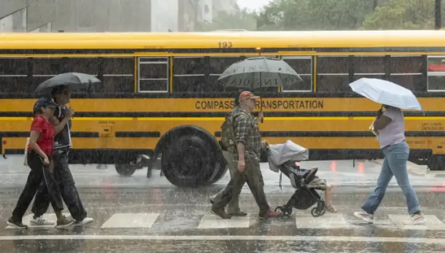
Severe weather is on the horizon for the Chicago area, with threats of flooding, hail, and tornadoes possible this Tuesday. A significant storm system is approaching, bringing a mix of warm and cool air masses that could lead to hazardous conditions.
Weather Conditions and Storm System
The National Weather Service warns of a collision between cool temperatures in the 40s and warm gusts reaching nearly 80 degrees south of Interstate 80. This temperature disparity is likely to cause severe weather, particularly in areas south of the interstate.
Tornado and Hail Threats
While the likelihood of tornadoes in the metro region is deemed “significantly lesser,” the risk of high rainfall and hail remains concerning. Meteorologist Kevin Doom highlighted the uncertain potential for flooding, depending on the actual rainfall accumulation.
Storm Timeline
Residents can expect the storms to commence between 3 p.m. and 5 p.m. on Tuesday. The weather is expected to persist into early Wednesday, with the most severe threats likely diminishing by midnight.
Advice for Residents
- Stay updated on weather forecasts through reliable sources.
- Avoid driving during severe weather conditions, especially in areas prone to flooding.
- If you encounter floodwaters, always turn around; never attempt to drive through them.
As the storm rolls in, residents are urged to remain vigilant and prepare for any emerging weather challenges. Safety should always be the priority during such volatile conditions.


