


Vancouver Weather Forecast Exposes a Low-Elevation Alert While Mountain Corridors Face Far Heavier Snow
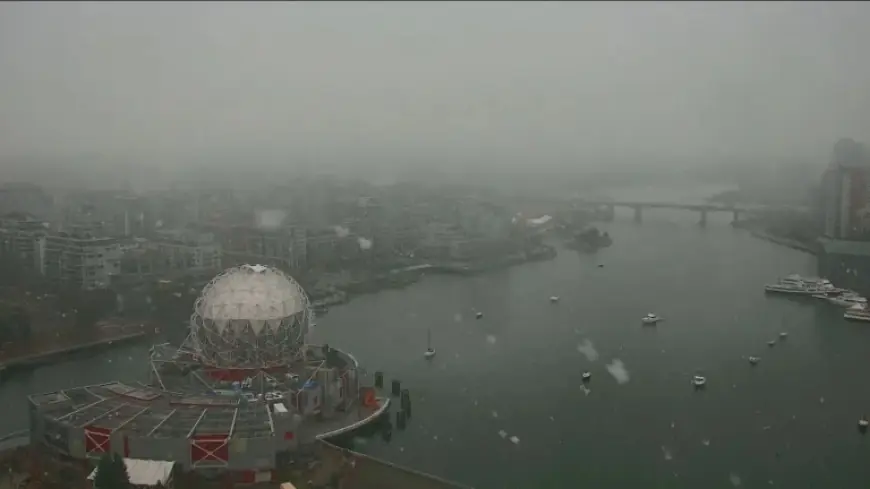
The vancouver weather forecast now covers low-elevation snowfall across Metro Vancouver and other parts of southwestern British Columbia, projecting as little as 4 centimetres near sea level while nearby corridors face up to 30 centimetres — a contrast that reframes travel risk for commuters and freight operators.
What does the Vancouver Weather Forecast say about snowfall amounts and locations?
Verified facts: Environment Canada expanded a special weather statement for low-elevation snowfall from Metro Vancouver into other parts of southwestern British Columbia, including Vancouver Island. The statement lists up to four centimetres possible for areas near sea level within the warning area that covers the Sunshine Coast, Howe Sound, the Fraser Valley and Greater Vancouver. Inland areas of North Vancouver Island are noted to possibly receive upwards of 10 centimetres. Higher elevations are expected to receive more: the Sea to Sky Highway from Squamish to Whistler could see as much as 15 centimetres by the end of Tuesday. The Coquihalla Highway remains under a snowfall warning for up to 30 centimetres of snow and had been backed up over the weekend due to a number of weather-related crashes.
Analysis: Those figures show a layered event: modest accumulations at sea level sit alongside substantial mountain snowfall. The contrast between low-elevation special weather statements and the heavier warnings affecting major inland corridors concentrates risk on routes that serve both local commuters and longer-distance traffic.
What are the immediate operational risks and who should act?
Verified facts: Environment Canada characterizes the event as a winter blast driven by a cold, unstable air mass and advises that drivers should prepare for challenging driving conditions. The prior weekend’s backups on the Coquihalla Highway were attributed to weather-related crashes.
Analysis: When an event combines low-elevation snow with heavier mountain accumulations, the operational consequences can cascade: slower local commutes, increased incident risk on steep passes, and congestion that magnifies exposure to hazardous conditions. The Coquihalla example in the verified record demonstrates that weather-related incidents can quickly create backups on critical corridors. Responsibility for mitigation is shared: travel authorities and highway operators must manage closures and advisories, while individual drivers and fleet operators must adapt plans and equipment to the specific accumulations forecast for their route.
What needs clearer messaging and what should the public demand?
Verified facts: The expanded special weather statement covers a broad geography, from low-elevation urban coastal areas to Vancouver Island and inland island zones, while distinct warnings remain in place for higher-elevation highways and mountain passes.
Analysis and accountability: The juxtaposition of modest coastal totals and much heavier mountain warnings creates a communication challenge: travelers may see a low-elevation number and underestimate risk on the corridors they plan to use. Given the documented impacts on the Coquihalla Highway, authorities should ensure that advisories clearly differentiate expectations by route and elevation. Transparent, route-specific guidance tied to the Environment Canada statements would reduce ambiguity for drivers, emergency responders and commercial operators. Where corridor closures or travel advisories are warranted, prompt, precise action will limit the type of weekend backups already recorded.
The verifiable record in this event — Environment Canada’s expanded special weather statement and the set of measured snowfall expectations, combined with the Coquihalla Highway’s weekend backups and the standing 30-centimetre warning — points to a need for clearer route-level warnings, targeted operational planning and heightened public attention to the vancouver weather forecast.


