


Tuesday Storms May Bring Tornadoes and 2-Inch Hail
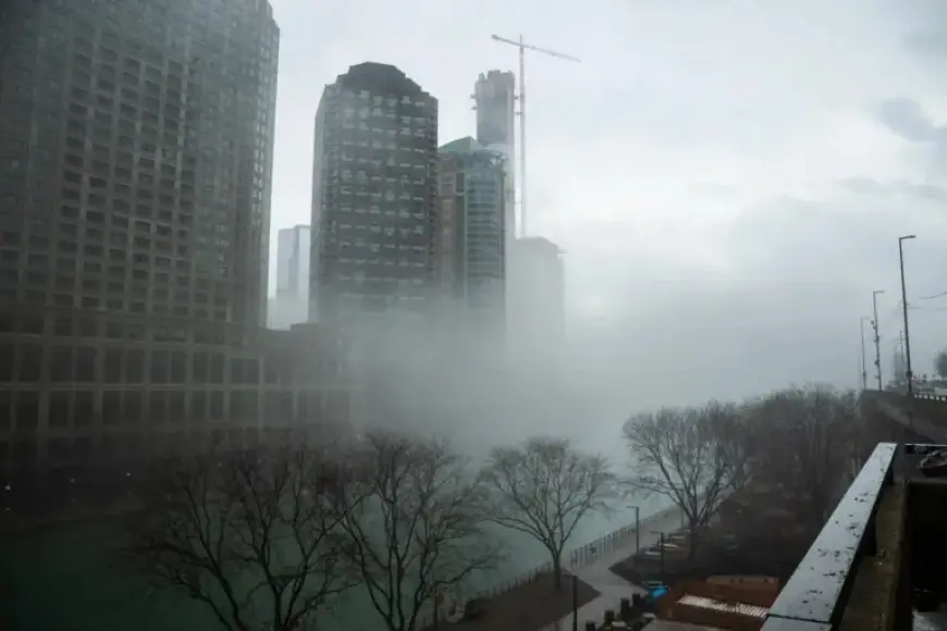
Severe weather is forecasted for parts of Chicago on Tuesday, with the potential for tornadoes and damaging hail measuring up to two inches. The National Weather Service (NWS) has issued warnings for residents as storms are expected to sweep through the area.
Weather Forecast for Tuesday
After enjoying unseasonably warm weather on Monday, temperatures are set to plummet. The high is forecasted at 51 degrees, dropping to 41 degrees by mid-morning. Rain and storms will develop throughout the day, leading to hazardous conditions.
Storm Outlook
- Tornadoes are possible south of Interstate 80.
- Severe thunderstorms could produce wind gusts up to 70 mph.
- Large hail and potential for flash flooding are significant concerns.
- Heavy rainfall is expected to continue overnight into Wednesday.
The NWS indicates that areas north of I-80 should prepare for large hail and flooding, while the greatest risks for severe weather, including strong tornadoes, lie along and south of I-80. These storms are predicted to escalate in the afternoon and persist into the evening.
Additional Weather Update
Wednesday will bring a limited risk of thunderstorms, especially east of I-57 and south of I-80. Temperatures are expected to remain chilly, with a high only reaching 41 degrees. Wind gusts may reach up to 35 mph.
As the day progresses, there is a chance of rain and snow showers in the evening.
Looking Ahead
Thursday is poised for a return to sunny skies with a predicted high of 46 degrees. However, wind gusts may still reach 20 mph during the day and potentially escalate to 45 mph overnight into Friday. The first day of the weekend will be partly sunny with a high near 49 degrees, providing a respite from the recent storms.
Stay tuned to Filmogaz.com for ongoing updates and safety tips regarding severe weather in the Chicago area.


