


Tornado Indianapolis: Statewide Siren Test Follows as Severe Weather Threat Eyes Tuesday Night
tornado indianapolis moved back into focus Tuesday after tornado sirens sounded statewide at about 10: 15 a. m. ET as part of Severe Weather Preparedness Week, even as the National Weather Service emphasized there was not yet a severe-weather risk at the time of the test. Later Tuesday, forecasters warned scattered severe storms could develop during the evening hours and continue overnight into Wednesday morning across central Indiana.
What Happens When Tornado Indianapolis Shifts From Drill To Weather Watch?
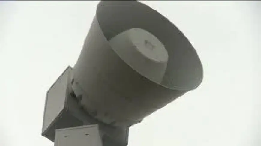
The morning sirens were a practice run tied to Indiana’s statewide tornado drill, designed to prompt residents to review their tornado safety plans and identify a designated safe place. The National Weather Service office in Indianapolis noted the alarms were for practice, not a real-time severe-weather warning.
That context matters because the same day as the test, the weather message changed: scattered severe storms were described as possible during the evening hours Tuesday, March 10. The National Weather Service also advised residents to keep a close eye on conditions in case advisories are issued and alarms are sounded later.
For now, the agency’s near-term assessment kept the immediate threat low this evening and overnight, while still urging attentiveness if conditions evolve. The key takeaway from the day’s messaging is the contrast between a planned drill and the possibility of real storms later: practice in the morning, monitoring in the evening.
What If Scattered Severe Storms Develop Late Tuesday Into Wednesday Morning?
Forecast guidance shared Tuesday pointed to a window of concern that begins in the evening and extends overnight. The National Weather Service stated that central Indiana could see scattered severe storms late Tuesday evening through Wednesday morning, with “all hazards possible. ” In the same outlook, tornadoes, damaging winds, hail, and flooding were listed among the hazards being watched.
The same National Weather Service messaging also flagged an additional period to watch beyond the overnight hours: additional scattered severe storms are possible Wednesday afternoon across the southeast half of central Indiana.
While the agency characterized the threat as low for the evening and overnight period at the time of the update, the recommendation remained consistent: monitor the weather closely in case conditions change, advisories are issued, and alarms are sounded. That guidance aligns with the purpose of the earlier statewide drill—ensuring the public can respond quickly if warnings become necessary.
What If Advisories Are Issued And Sirens Sound Again?
The National Weather Service’s guidance emphasized readiness and awareness, especially after the statewide test. The drill encouraged residents to practice a tornado safety plan from wherever they were and to identify a designated safe place from damaging weather.
With scattered severe storms possible Tuesday evening through Wednesday morning, the agency recommended staying alert to changing conditions. The message was not framed as certainty that severe weather will occur everywhere, but as a call to stay weather-aware should advisories be issued or sirens sound again later.
As the overnight period approaches, the practical distinction remains clear: Tuesday’s 10: 15 a. m. ET sirens were a test, while any later alarms would reflect evolving weather conditions. Residents across central Indiana, including those tracking tornado indianapolis, are being urged to keep monitoring updates through the evening and into Wednesday.


