


Snowfall turns from quiet evening to road closures under heavy snow warnings
A quiet winter evening can shift quickly when snowfall speeds up and the wind sharpens. What begins as a peaceful scene can become closed roads, power outages, and difficult travel conditions. That transition sits at the center of new winter storm warnings in Washington state, where forecasters are warning of a powerful system that could bring deep snow totals, strong wind gusts, and blizzard conditions that make travel hazardous.
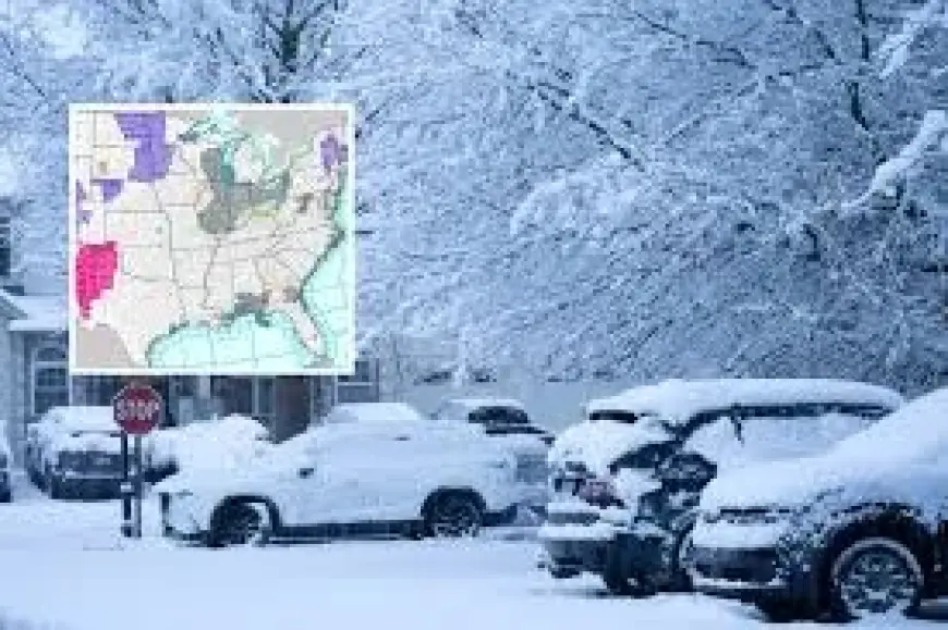
National Weather Service warnings out of Spokane and Seattle
On March 9, the National Weather Service issued a winter storm warning out of Spokane, Washington, with a similar forecast coming out of its Seattle, Washington, office on the same day. The storm system is expected to last from Tuesday, March 10, at 5am to the morning of Friday, March 13.
The Spokane office warned of up to five feet of snow in spots including Holden Village, Stehekin, and parts of Stevens Pass. In the hardest-hit zones, the forecast called for two to five feet, while lighter-affected parts could see one to two feet. The Seattle office forecast between two and four feet in parts of Mount Baker and other areas of Steven Pass, with between six and 18 inches arriving elsewhere in the same area.
Both forecasts also cautioned that newly arriving snow will build on what had previously fallen during other recent systems, a detail that changes how quickly roads, driveways, and daily routines can be overtaken when the next wave arrives.
Stevens Pass travel, freight, and the weight of wind gusts
Wind was a second, compounding threat threaded through both warnings. The Seattle office stated that 45 mph wind gusts were possible, compared to Spokane’s 40 mph maximum, across the previously described regions. Even where snowfall totals differ from one zone to another, forecasters emphasized that snow and wind together could create dangerous travel conditions.
That danger is not abstract for Stevens Pass, where people travel through the area every day. A Washington State Department of Travel report on avalanches stated that 4, 500 vehicles travel through Stevens Pass daily on average, with 450 of them carrying freight. When a winter storm warning covers a corridor like that, the stakes include not only personal trips but also the movement of goods on roads that can shift from merely slow to hazardous under heavy, wind-driven snow.
Heavy snowfall can develop quickly when cold air and moisture collide in the atmosphere, and wind can intensify the situation by blowing snow across roads and fields. The warning language reflects that combination: falling snow, reduced visibility, and gusts strong enough to create blizzard conditions in which travel becomes difficult to judge moment by moment.
Holden Village, Stehekin, and the preparation a warning demands
A heavy snow warning is issued when weather experts expect significant snowfall within a short period, and it usually means accumulation strong enough to disrupt travel, schools, and daily routines. Meteorologists analyze temperature patterns, moisture levels, and storm movement before issuing an alert, and when the conditions combine, roads can become slippery quickly and visibility can drop.
Forecasters in Washington’s warned region urged practical preparation for anyone passing through. They recommended carrying food, water, and a flashlight for safety—items that can matter when a trip stretches out longer than planned or when a route becomes temporarily impassable.
Other winter travel kit guidance included specific supplies intended to help drivers in cold, snowbound conditions:
- A flashlight, preferably crank-type
- A bag of abrasive material such as sand or kitty litter
- Lock de-icer kept with you, rather than in your vehicle
- A small tool kit, such as a screwdriver and pliers
- Extra fuses for a vehicle’s electrical system
Still, preparation is only part of what a warning changes. Heavy snow warnings also shift attention and behavior: people check weather updates, adjust travel plans, and think about what can happen when storms intensify quickly. Many communities carry memories of earlier storms that brought power outages or closed highways for hours, and that history shapes how residents respond when the next warning appears.
As the storm window approaches—from Tuesday, March 10, at 5am through the morning of Friday, March 13—the quiet image of snowfall becomes something else: a forecast that reaches into places like Holden Village and Stehekin, and into high-traffic routes like Stevens Pass. The same winter scene that can cover the world in silence can also be the signal to slow down, pack supplies, and treat the next trip as optional until the warning period passes.


