


Severe Weather Hits Before Mild Conditions Return
Unsettled weather is affecting large parts of the UK, bringing a mix of rain, snow, and ice. The Met Office has issued yellow weather warnings as heavy rain and strong winds are reported throughout the country.
Current Weather Conditions
Today, a frontal system is pushing through Northern Ireland and southern to central Britain. Yellow National Severe Weather Warnings remain active until Thursday morning.
Southern England
- A yellow warning for heavy rain is in effect.
- Expected rainfall: 10-20 mm, with localized areas receiving up to 50 mm, particularly around Dartmoor.
- Strong east to northeasterly winds will accompany rainfall.
- Large waves may impact east-facing coasts, especially along the English Channel.
Northern Ireland
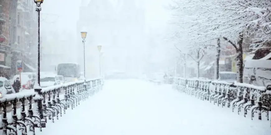
A yellow warning is also in place here, where rain may fall as snow in higher elevations. The following conditions are expected:
- Little to no lying snow at lower elevations.
- Potential snowfall of several centimeters above 250 meters in areas like the Sperrins.
- Strong southeasterly winds are expected with this system.
Wales and Central England
Parts of Wales, central England, and the southern Pennines are under a similar yellow warning due to incoming rain and snow.
- Forecasts predict snowfall of 2-5 cm above 150-200 meters.
- Possible snow accumulation of 10-15 cm above 250-300 meters across regions including Herefordshire and Shropshire.
- Lower levels are expected to see less than 2 cm of snow.
Weather Outlook
As this weather system clears on Thursday, conditions are expected to improve. However, showers will continue in Northern Ireland and western Scotland.
- Temperatures will remain below average, with potential for further ice warnings overnight.
- The outlook into the weekend remains unsettled with occasional rain and brighter intervals.
- Milder temperatures are anticipated, potentially reaching highs of 16°C in sheltered areas.
This warming trend is unusual for this time of year and may lead to a return to average temperatures next week. Stay updated through Filmogaz.com for the latest forecasts and weather warnings in your area.