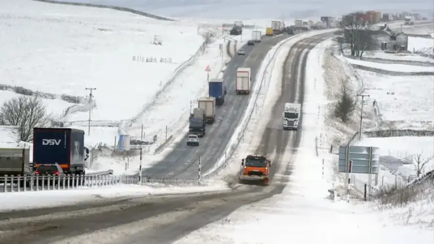
Severe Snow and Ice Alert Issued with Flood Warnings for 70+ Areas

A severe weather alert has been issued due to significant snow and ice risks, accompanied by flood warnings for over 70 regions. These conditions are expected to cause disruption and impact travel across various areas.
Weather Warnings and Flood Risks
A yellow weather warning for snow and ice remains in effect, particularly affecting Scotland and large parts of England. This warning lasts until 10 AM on Sunday. Additionally, the Environment Agency has emphasized the need for public caution due to ongoing flood risks.
- As of Saturday night, there were 74 flood warnings issued.
- There were also 163 flood alerts reported across England.
Flood Protection Efforts
Jonathan Day, the flood duty manager at the Environment Agency, reported that more than 24,000 homes and businesses have received protection. However, approximately 330 properties have experienced flooding.
Details of the Snow and Ice Warning
The snow and ice warning extends from Derby across much of Scotland. According to the Met Office, some areas may experience heavy snowfall, which could impact travel plans.
- Expected snow accumulations at low levels: 1-3 cm
- At elevations above 150 meters: 3-7 cm
- At over 400 meters, totals could reach 10-15 cm
The Met Office forecasts initial rain to fall as snow on Saturday night at lower elevations before transitioning to higher ground. Areas shielded by high terrain may see minimal snow accumulation.
Ice Hazards and Temperature Expectations
Ice poses an additional threat, especially in northeast England and parts of Scotland. Precipitation falling on frozen ground can create hazardous, slippery conditions. On Sunday morning, a mixture of rain and hill snow is anticipated.
As milder air penetrates the southwest, temperatures in Cornwall and Devon may rise to 12°C, while eastern regions are expected to hover around 4°C to 5°C. The upcoming week will begin with unsettled weather featuring showers across the country.
Looking Ahead
This unpredictable weather pattern is expected to persist into next week. By Tuesday, conditions may calm slightly; however, another weather system is projected to arrive on Wednesday, bringing further unsettled conditions. By Thursday, a drier spell may occur, providing some relief.
Stay informed and prepared as severe snow and ice alerts continue to affect numerous areas. For exclusive and original coverage on this issue, visit Filmogaz.com.


