


Coastal flood advisory issued as high tides and surf threaten Bay Area shorelines
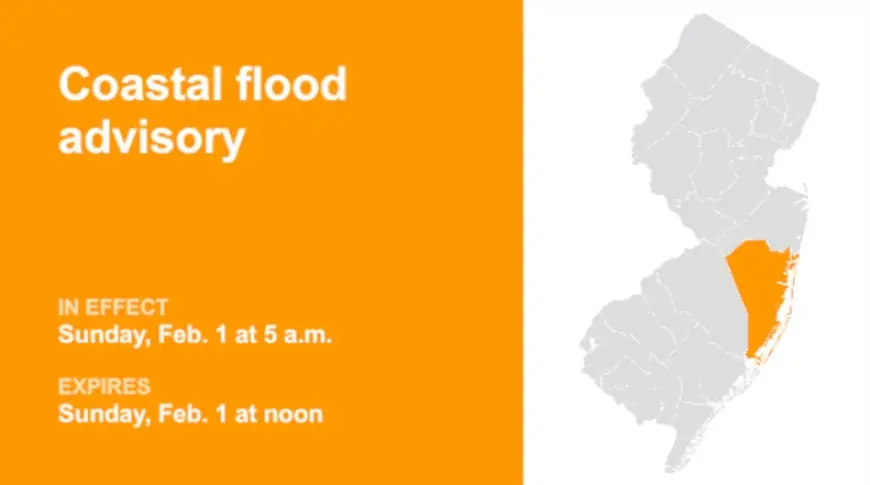
A coastal flood advisory remained in effect Friday afternoon as water levels around San Francisco Bay and parts of the Central Coast were expected to run high enough to push seawater into low-lying streets, trails, and parking areas through the weekend. The advisory highlights a familiar winter combination—elevated tides plus energetic surf—creating short windows where saltwater can spill over shorelines and into vulnerable spots.
Forecasters warned that brief, minor flooding is most likely around the times of high tide, with added risk where waves can overtop seawalls, dunes, and rock revetments.
What’s driving the weekend flood risk
The setup is straightforward: higher astronomical tides are coinciding with a period of rough coastal conditions. Even when wind-driven storm surge is limited, the tide itself can do much of the work—then waves and swell add an extra push that sends water farther inland than usual.
In practical terms, that means the flood impacts are expected to be localized but disruptive, showing up first in the most tide-sensitive places: bayside parking lots, waterfront road dips, marina access points, low trails, and neighborhoods built close to tidal channels.
Coastal flood advisory: where and when
The current alert covers shoreline areas around San Francisco Bay as well as stretches of the Northern and Central California coast, with minor inundation possible in the most vulnerable low-lying locations near shorelines and tidal waterways. Water levels could reach roughly 1.3 to 1.4 feet above ground level in some of those worst-case pockets, especially when high tide timing overlaps with wave runup.
The advisory is set to run through Sunday afternoon, Feb. 1, 2026 (ET), with the most noticeable impacts clustered around late-night and morning high tides.
Snapshot (times in ET)
| Area (examples) | Expected issue | Potential water level | Rough timing window |
|---|---|---|---|
| San Francisco Bay shoreline | Minor saltwater flooding in low spots | up to ~1.3 ft (localized) | Fri night–Sun afternoon, peak near high tide |
| North Bay interior lowlands near tidal waterways | Tidal back-up into low-lying areas | up to ~1.3 ft (localized) | Highest risk near morning high tides |
| Monterey Bay shoreline | Coastal inundation + wave runup | up to ~1.4 ft (localized) | Tide peaks with rough surf episodes |
| Big Sur coast (select access points) | Overtopping at exposed shoreline features | localized impacts | Short windows around high tide |
Where flooding tends to show up first
Minor coastal flooding rarely looks dramatic in photos, but it can create real hazards quickly:
-
Saltwater on roadways can make surfaces slick and hide potholes or debris.
-
Parking lots and boat ramps near marinas can take on water fast, stranding vehicles.
-
Bayfront paths and parks can flood in shallow sheets that look passable until a wave pushes farther inland.
-
Low tide gates and storm drains can back up, slowing drainage from rainwater even if rainfall is light.
The most consistent pattern is that conditions can look fine, then change within minutes as the tide crests or a larger set of waves arrives.
Safety and travel impacts to watch
Drivers and pedestrians should treat flooded pavement as a hard stop, particularly in places where saltwater can conceal washouts or pull debris onto roads. For coastal visitors, the bigger danger often comes from the ocean itself: high surf can surge over rocks and seawalls with little warning, and wave runup can reach areas that appear well above the waterline.
If you’re planning to be near the shore this weekend, the practical playbook is simple: time activities away from high tide, keep distance from the water’s edge, and avoid turning around in tight waterfront roads where water may be rising behind you.
What to expect next
The risk should ease after the highest-tide cycle passes and surf conditions relax, but forecasters will be watching how swell and tide timing line up over the next 24–48 hours. If wave energy stays elevated, minor flooding may persist in the same repeat locations even without any major storm system overhead.
In the near term, the next meaningful update will be whether the advisory is allowed to expire Sunday afternoon (ET) or extended if the shoreline impacts last longer than expected.
Sources consulted: National Weather Service (San Francisco Bay Area/Monterey); NOAA Tides & Currents; Sacramento Bee; Fresno Bee; CBS News Bay Area


