


Storms and Snowfall Blanket Mountain Regions Today
The mountain regions are bracing for significant weather changes today. Storms and snowfall are forecasted, making conditions in the higher altitudes particularly challenging. Residents and travelers should prepare for variable weather patterns.
Weather Forecast Overview
On Tuesday, the weather will be predominantly overcast. Isolated rain showers and storms are anticipated in the mountain areas during the afternoon. Snowfall is likely in these elevated regions, complicating outdoor activities.
Temperature Variations
Temperature ranges will vary significantly across different areas:
- Coastal regions: Up to 17°C
- Inland areas: Around 15°C
- Higher mountains: Approximately 7°C
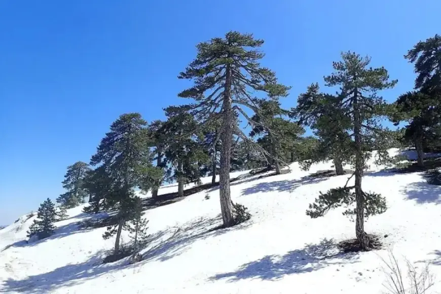
Snow Accumulation and Wind Conditions
As of this morning, the Troodos Mountains recorded a total of 17 cm of snow. Winds will begin primarily from the southwest at a strength of 3 Beaufort. However, they are expected to intensify to about 5 Beaufort as the day progresses.
Sea Conditions
Maritime conditions will also be affected, with the sea becoming slightly rough to rough. Tonight, the weather remains predominantly cloudy, with local rain and snow likely in higher elevations.
- Coastal temperatures: Dropping to 9°C
- Inland temperatures: Approximately 7°C
- Higher mountain temperatures: Falling to around 3°C, with potential frost formation
Upcoming Weather Patterns
Looking ahead, the weather is expected to remain partly cloudy through the end of the week. Additional rain and thunderstorms may occur inland, with the possibility of snow or sleet in the mountain regions.
The temperature is predicted to decrease slightly on Wednesday. From Thursday onward, a gradual rise in temperatures is anticipated.
Stay tuned to Filmogaz.com for ongoing updates and detailed weather forecasts to navigate the effects of this stormy weather.


