


Explore Snow Totals in Binghamton and Southern Tier with This Map
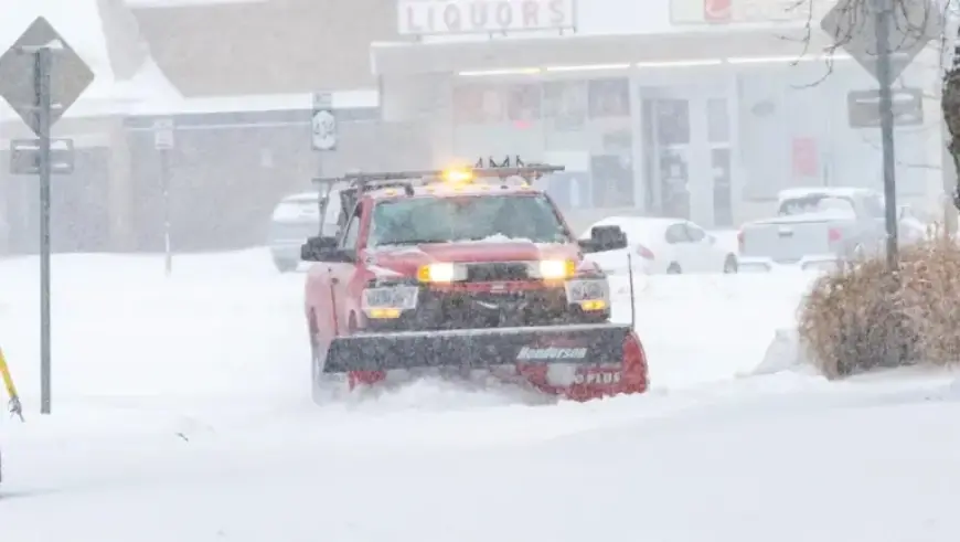
The latest winter storm has brought the biggest snowfall of the season to Binghamton and the Southern Tier. Significant snow accumulation, combined with freezing temperatures, has led to travel advisories and state of emergency declarations across multiple counties. The heavy snow resulted in numerous school closings and delays on Monday.
Impact of the Winter Storm
New York Governor Kathy Hochul described this winter storm as the coldest seen in years. Speaking from the State Emergency Operations Center, she noted the state is experiencing “an Arctic siege.” According to her, New York is bracing for an extended cold stretch and some of the highest snow totals recorded in recent years.
Weather Forecast
The National Weather Service predicts that cold temperatures will persist throughout the week. Highs are expected to remain in the teens until Sunday, when temperatures may finally reach the low 20s. This prolonged cold snap will prevent snow from melting quickly, contributing to ongoing travel difficulties.
Snow Totals in the Southern Tier
Residents can track snowfall in their area using the snowfall tracker available through Filmogaz.com. Here are the reported snow totals across various locations in Broome County:
- Binghamton: 13 inches
- Johnson City: 12 inches
- Windsor: 12 inches
- Vestal: 11 inches
- Endicott: 11 inches
- Endwell: 11 inches
- Whitney Point: 11 inches
During this challenging weather scenario, it is essential for residents to stay updated on local advisories and take necessary precautions while traveling. The ongoing cold conditions and significant snowfall could lead to more adverse events in the coming days.