Tracking Massachusetts Winter Storm: 5 Maps for Monday’s Snow Impact

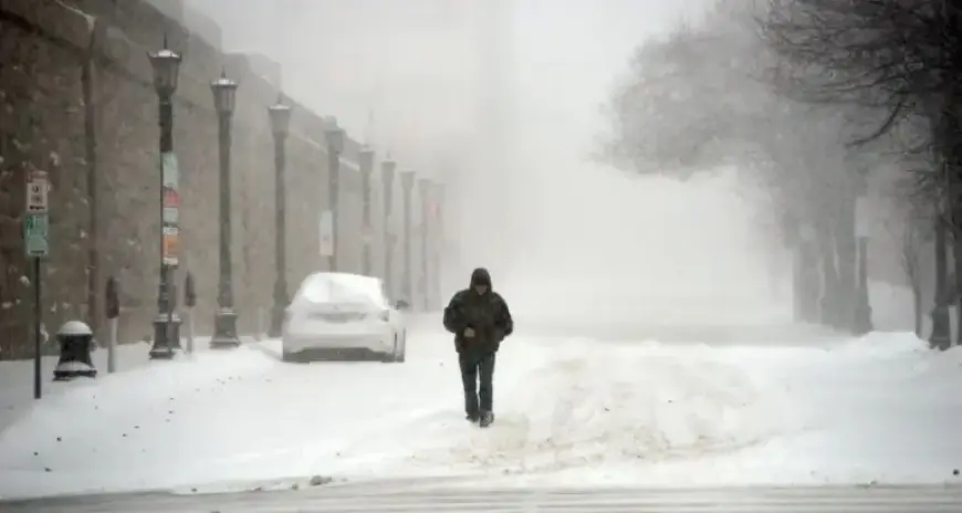
Massachusetts experienced significant snowfall over the weekend, with some areas receiving over 20 inches. As the winter storm unfolds, the National Weather Service (NWS) forecasts continued snowfall on Monday. Light to moderate snow is anticipated throughout the day, particularly affecting communities near Boston and Lawrence.
Forecast for Monday’s Snow Impact
Forecasters predict that Boston and Lawrence will bear the brunt of Monday’s snow, with potential accumulations of up to three additional inches. In contrast, residents in the Berkshires may only see about one inch of new snowfall.
Snow Accumulation Estimates
- Central and eastern Massachusetts: 2-3 inches
- Western Massachusetts: 1 inch
- Boston: up to 4 inches possible
- Cape Cod: up to 5 inches
- Gloucester: up to 6 inches
The storm warning remains in effect until 8 PM, with periods of snowfall continuing until as late as 1 AM Tuesday in parts of the state. Most snow is expected to taper off by 7 PM on Monday.
Additional Weather Conditions
While snow is the primary concern, some areas may also experience ice, especially towards Connecticut. Ice risk varies, but it could impact travel conditions across different regions.
Travel Advisory
Despite predictions indicating minor disruptions to daily routines, caution is advised for drivers due to changing weather conditions. The NWS emphasizes the need for careful navigation during this winter storm.
Stay informed with the latest updates as the storm develops throughout Monday on Filmogaz.com.


