


Winter Storm Fern: Early Snowfall Totals Revealed
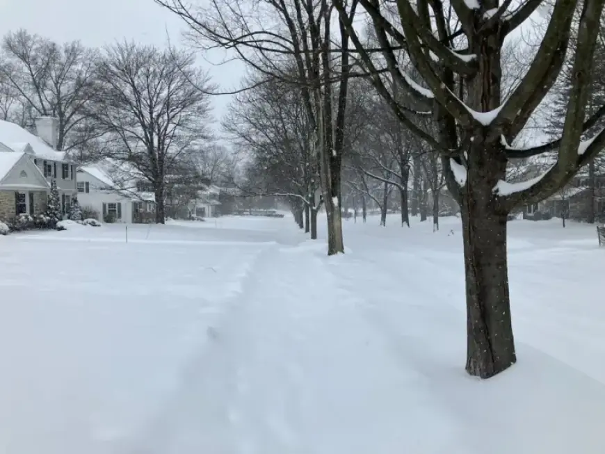
Winter Storm Fern has brought significant snowfall across various regions, with preliminary accumulation reports now available. These figures reflect the snow measured in the first 24 hours of the storm, showcasing the impacts on local communities.
Early Snowfall Totals from Winter Storm Fern
The reported totals are unofficial. They were collected by spotters between 5 a.m. and 9:30 p.m. on a recent Sunday, primarily from observations made from 7 a.m. to 9 a.m.
Cuyahoga County
- Lakewood: 2.2 inches
- Richmond Heights: 1.7 inches
- Shaker Heights: 2.8 inches
- South Euclid: 1.0 inches
- Strongsville: 2.5 inches
- University Heights: 1.0 inches
- Westlake: 1.7 inches
- Woodmere: 2.0 inches
Geauga County
- Auburn Corners: 3.0 inches
- Middlefield: 1.8 inches
Lake County
- Madison: 0.6 inches
- Mentor-on-the-Lake: 2.0 inches
- Willoughby: 0.9 inches
Lorain County
- Amherst: 2.0 inches
- Avon: 3.0 inches
- Elyria: 1.5 inches
- Lorain: 1.0 inches
- North Ridgeville: 2.1 inches
Medina County
- Homerville: 2.5 inches
- Medina: 3.0 inches
- Spencer: 2.4 inches
- Wadsworth: 1.4 inches
Portage County
- Craig Beach: 3.5 inches
- Hiram: 3.0 inches
- Kent: 3.0 inches
- Mantua: 1.8 inches
- Ravenna: 2.8 inches
- Streetsboro: 2.8 inches
- Windham: 2.7 inches
Summit County
- Munroe Falls: 2.0 inches
- Reminderville: 2.5 inches
Trumbull County
- Cortland: 1.7 inches
- Mosquito Creek Lake: 2.0 inches
- Newton Falls: 2.8 inches
The ongoing snowfall from Winter Storm Fern is expected to continue impacting the region, and residents are advised to take necessary precautions.