


Tomorrow’s weather sets the tone for the week: dangerous cold in Minnesota and Wisconsin, while Boston braces for a prolonged snow hit
Monday, January 26 brings a split-screen weather story that could affect commutes, school plans, and travel across two very different regions. In the Upper Midwest, the main concern is still extreme cold—the kind that turns short outdoor time into a safety decision and makes car trouble more serious. In New England, the bigger disruption is snow and blowing conditions, with road impacts stretching beyond a single day. The next 7–10 days don’t signal a quick reset; they suggest a slow, uneven climb out of the cold, with at least one more snowmaker for Boston later in the week.
Cold risk first: the Upper Midwest stays in “limit your time outside” mode
Minnesota (Minneapolis area): The pattern remains locked in, with highs struggling in the single digits and teens and lows dipping well below zero at times. The small “warm-up” you’ll feel is relative—going from near-zero to the teens doesn’t reduce risk as much as people expect, especially with any breeze.
Milwaukee and southeast Wisconsin: Temperatures stay bitter, and light snow/flurries can add slick spots even when totals are minor. The bigger practical issue is how cold impacts the basics: dead batteries, longer stopping distances, and roads that refreeze quickly after any daytime improvement.
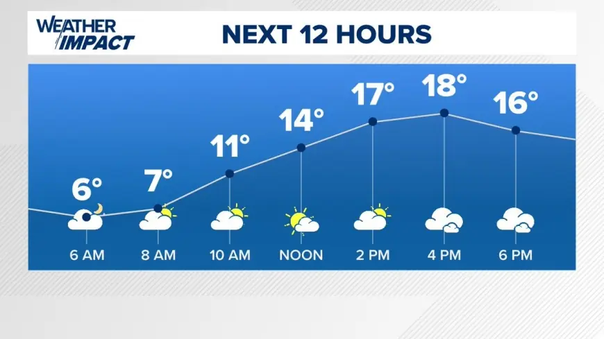
Tomorrow (Mon, Jan 26) — key temperatures
-
Minneapolis: High around 11°F (-12°C), low near -3°F (-20°C)
-
Milwaukee: High around 8°F (-13°C), low near 4°F (-15°C)
A useful way to plan: treat anything under 15°F as “exposure-weather.” Gloves and face coverage matter, and keeping a charger/blanket in the car stops being “extra.”
Boston’s main problem is time: snow impacts stretch from today into tomorrow
Boston’s forecast is less about one burst and more about duration. Snow ramps up today (Sunday) and continues into Monday, with periods heavy enough to drag down visibility and keep plows chasing accumulation. The temperature profile is also tricky: near-freezing during the storm, then a sharp drop overnight, which can turn treated roads icy again.
Snow outlook (Boston area)
-
Sunday, Jan 25: Snow, heavy at times, roughly 10–15 cm
-
Monday, Jan 26: More intermittent snow, roughly 12–20 cm
-
Combined impact: a multi-period event that keeps travel conditions degraded longer than a typical overnight snowfall
A winter storm warning is in effect for the Boston area from Sunday morning through Monday evening, which is the clearest signal that this is a “plan around it” storm rather than a casual flurry event.
Mini timeline: the next few days that matter most
-
Sun, Jan 25 (Boston): Snow builds; conditions worsen through the day.
-
Mon, Jan 26 (Boston): Snow continues; hardest travel windows shift as bursts redevelop.
-
Mon, Jan 26 (Upper Midwest): Cold remains the headline; slick spots possible in Wisconsin.
-
Fri, Jan 30 (Boston): Another round of snow is possible later in the week.
-
Early Feb: Gradual moderation shows up in the Midwest, but not a true thaw.
10-day temperature trend at a glance
Minneapolis (10-day feel):
Still frigid through late week, then a slow climb:
-
Highs mostly single digits to teens through Jan 31
-
Near mid-to-upper 20s by Feb 2
Milwaukee (10-day feel):
Cold persists with a modest lift into early February:
-
Highs mostly single digits to teens through Jan 31
-
Near mid-20s by Feb 2, still winter-cold but less punishing
Boston (10-day feel):
Snow early, deep cold immediately after, then steadier winter:
-
Snowy Sun–Mon, then very cold Tuesday–Thursday
-
Another snow chance Friday
-
Near freezing (around 32°F/0°C) by Feb 2
If you tell me the specific city you mean for “Minnesota weather” (Minneapolis, St. Paul, Duluth, Rochester), I can tighten the numbers and impacts to your exact area.


