


National Weather Service faces a credibility test as major winter warnings collide with travel, power, and public trust
The National Weather Service is in the middle of its most unforgiving kind of moment: a sprawling winter storm forecast that forces millions of decisions before the first inch falls. The agency’s words—advisories, watches, warnings—trigger cancellations, road treatment plans, school closures, and emergency staffing. If the message is too mild, people get trapped in worsening conditions. If it’s too alarmist, the public tunes out the next time it matters. This storm’s mix of heavy snow, ice, and extreme cold is exactly the scenario where clarity becomes a safety tool.
When “warning” is the product: the fine line between urgency and fatigue
Weather forecasts aren’t just information; they’re instructions people interpret through experience. The National Weather Service has to translate uncertain science into simple action guidance—leave now, delay the trip, check on neighbors, prepare for outages—while the storm track still has room to wobble.
The hardest part is that impacts don’t scale neatly with snowfall totals. A “moderate” amount can become dangerous if it arrives fast during commuting hours, or if temperatures stay low enough that treated roads re-freeze. Add gusty wind and visibility collapses. Add ice, and even small amounts can snap tree limbs, pull down lines, and block roads with debris.
That is why the agency often emphasizes hazards over inches:
-
Snowfall rate: How quickly conditions deteriorate matters more than the final total for travel.
-
Ice risk: A thin glaze can produce disproportionate damage and outages.
-
Wind and drifting: Blowing snow can re-cover cleared lanes and create whiteout bursts.
-
Cold after the storm: Refreezing turns cleanup into a multi-day problem, not a single plow cycle.
In a storm with multiple hazards across multiple states, the forecast also becomes a coordination map: transportation agencies, utilities, hospitals, shelters, and local governments build their plans around the same evolving guidance.
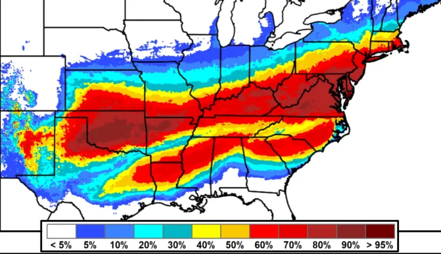
A storm stretching coast-to-coast forces rapid updates—and exposes weak points
This weekend’s system has pushed winter alerts across large portions of the country, with heavy snow in many areas and a corridor of ice risk farther south. The geographic scale is a major reason disruptions can cascade: flight schedules get trimmed to keep aircraft and crews from being stranded, highways slow to a crawl during peak intensity, and local emergency lines see spikes as conditions worsen.
In the Northeast, winter storm warnings cover dense population centers where timing is everything. The most disruptive period tends to be the overlap of heavier precipitation and the busiest travel windows, followed by a second wave of problems when temperatures plunge again and surfaces re-freeze.
The National Weather Service also leans on redundancy during big events—especially NOAA Weather Radio—because power failures and connectivity issues can leave people without apps or cable coverage. But even redundancy has friction: transmitter maintenance and localized outages can occur, and the agency routinely posts outage information and service degradations. During a storm that large, any weak link becomes more visible because more people depend on the same channels at the same time.
There’s also a longer-running pressure behind the scenes: staffing and workload. Forecast offices can be stretched thin during extended events that require frequent updates, media briefings, and coordination calls while simultaneously monitoring fast-changing conditions. When the storm lasts multiple days, fatigue becomes a factor—not just for drivers and plow crews, but for the people issuing and updating critical warnings.
A simple, real-world way to interpret NWS updates during major winter events
-
If timing shifts earlier: travel and school decisions should shift earlier too.
-
If warnings expand geographically: disruption is more likely to ripple across flights, shipping, and mutual-aid resources.
-
If the forecast adds ice or stronger wind: expect more power trouble and longer recovery even if snow totals don’t change much.
-
If temperatures are forecast to stay very low: plan for icy roads and sidewalks well after the last flakes.
Quick Q&A for readers trying to use the warnings well
Is a Winter Storm Warning a guarantee?
No. It’s a high-confidence signal that hazardous conditions are likely in the warned area, but exact totals and the worst banding can still shift.
Why do forecasts change close to the storm?
Because small track changes can relocate the heaviest snow or ice corridor. The closer the storm gets, the better the observation data feeding the models.
What’s the most important thing to check besides totals?
Timing and type. Knowing when the worst conditions arrive and whether precipitation is snow, sleet, or freezing rain is often more useful than chasing a single accumulation number.
For the National Weather Service, storms like this are a public-facing exam: communicate risk plainly, update quickly without whiplash, and keep the guidance actionable for people who need to decide whether to travel, close, open, or mobilize—before the weather makes the choice for them.


