


Major Storm to Blanket Atlantic Canada with Up to 25+ cm of Snow
A major winter storm is expected to affect Atlantic Canada from late Sunday through Monday. This severe weather event will bring significant snowfall and frigid temperatures, making travel conditions hazardous.
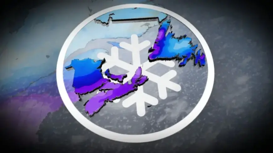
Snowfall Forecast for Atlantic Canada
The storm is projected to deliver between 10 and 25+ cm of snow in certain regions. The snowfall will likely disrupt Monday morning commutes. Residents should prepare for icy conditions and reduced visibility during this period.
Impact of Arctic Air
In the days leading up to the storm, an influx of Arctic air will sweep over eastern Canada, resulting in extremely cold temperatures. Daytime highs may reach as low as -20°C, placing the regional temperature well below seasonal averages.
Temperature Predictions
- Halifax is expected to reach a high of -14°C on Saturday.
- Temperatures are forecasted to remain in the minus teens to -20°C range.
- Wind chills could make it feel as cold as -30°C or lower.
Weather Patterns Contributing to the Storm
The convergence of a cold Arctic air mass and a warm, moist air mass from the Gulf of Mexico will create conditions conducive to heavy snowfall and ice. This unique atmospheric interaction will stretch from Texas all the way to the Atlantic coast.
Preparation Tips
Residents in impacted areas should take the following precautions:
- Limit travel if possible during the storm.
- Prepare emergency kits with necessary supplies.
- Stay updated on weather conditions through reliable sources.
This winter storm serves as a reminder of the challenges posed by extreme weather. As Storm warnings are in effect, staying informed and prepared is crucial for safety in Atlantic Canada as these conditions unfold.