


Winter Storm This Weekend: Snow, Ice, and an Arctic Blast Set to Hit the Midwest, Carolinas, and Northeast
A large, fast-evolving winter storm is lining up for this weekend (Saturday–Sunday, Jan. 24–25, 2026), with a dangerous mix of heavy snow, sleet, freezing rain, and a sharp plunge in temperatures across a wide slice of the central and eastern U.S. The biggest story isn’t just snowfall—it’s the ice risk and the flash-freeze potential as bitter air rushes in behind the storm, locking in hazardous roads and stressing trees and power lines.
Some private-sector coverage has tagged the system “Winter Storm Fern.” Regardless of the label, the impacts look real: travel disruptions, scattered power outages where icing is heaviest, and a prolonged cold stretch into next week.
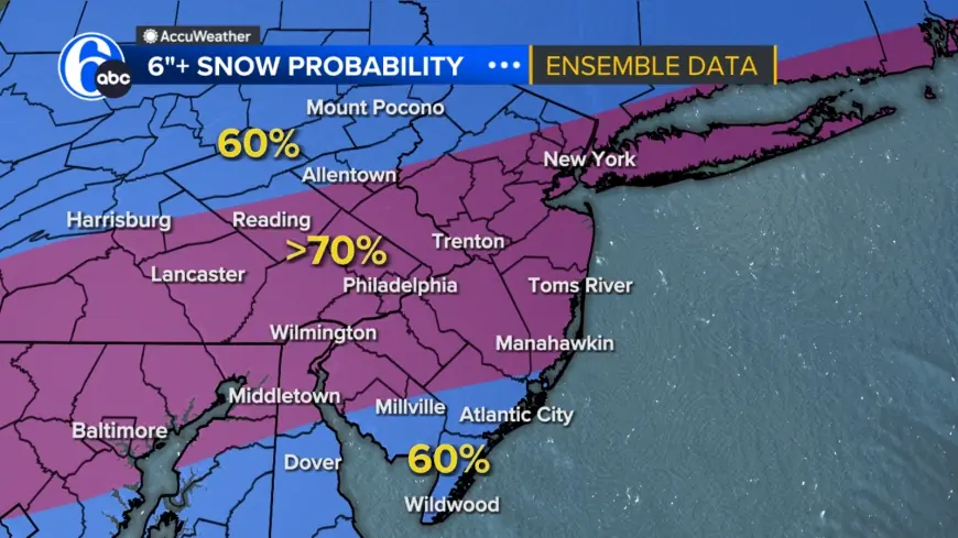
Winter storm map: where snow vs. ice looks most likely
Think of the storm in two main bands:
-
Heavier snow band (primary): Midwest/Ohio Valley into the interior Mid-Atlantic and parts of the Northeast.
-
Ice/sleet zone (high-impact): Transition corridor on the southern and eastern side of the storm—especially where surface temps hover near or below freezing while warmer air rides overhead.
A simplified “impact map” in plain language:
-
Highest snow risk: Ohio Valley → central Appalachians → interior Northeast
-
Highest ice risk: parts of the Carolinas and nearby Piedmont/foothills → pockets of the southern/central Appalachians and the storm’s transition zone
-
Worst cold after: broad central/eastern U.S., with dangerous wind chills in many areas
Cincinnati weather: snow storm forecast and timing
For the Cincinnati area, the weekend setup favors snow building Saturday afternoon and intensifying Sunday, with very cold air in place.
10-day snapshot (key points):
-
Sat (Jan. 24): Light-to-moderate snow develops later; very cold.
-
Sun (Jan. 25): Steadier snow; slick, snow-packed travel likely.
-
Early next week: Persistently frigid conditions increase refreeze risk.
What to watch: Even small changes in storm track can shift totals up or down, but the combination of snow + extreme cold raises the chance of hazardous roads lasting beyond the final flakes.
Charlotte and Raleigh: winter storm North Carolina shifts toward ice storm impacts
The Carolinas appear positioned near the storm’s most volatile precipitation zone, where snow can quickly mix with sleet and freezing rain. That’s where the highest-impact scenarios live—because a thin glaze of ice can be more disruptive than several inches of snow.
Charlotte weather: snow Saturday, ice Sunday
-
Sat (Jan. 24): Snow/sleet possible later in the day as colder air deepens.
-
Sun (Jan. 25): Freezing rain and sleet risk, especially early; travel and power-line impacts become the main concern.
-
After the storm: Colder air returns and can freeze untreated roads.
Raleigh weather: more sleet/freezing rain than pure snow
-
Sat (Jan. 24): Late-day wintry mix; snow may be brief or patchy.
-
Sun (Jan. 25): Higher confidence in sleet/freezing rain periods; lingering hazards.
-
Next week: Subfreezing nights make cleanup slower and refreezing more likely.
Bottom line for North Carolina: If you’re in the Piedmont/triangle corridor, plan for ice-first impacts—slippery roads, downed limbs, and potential localized outages—especially if temperatures stay at or below freezing for extended periods.
Columbus weather: bitter cold and accumulating snow
Columbus is forecast to be frigid heading into the weekend, which supports higher snow-to-liquid ratios (fluffier, easier-to-blow snow) and increases the danger of exposure.
-
Sat–Sun: Periods of snow with accumulating potential.
-
Early next week: Dangerous cold persists; refreeze becomes a daily issue.
What to watch: Blowing snow in open areas and quickly icing roads at night—especially bridges and untreated secondary streets.
NYC snow forecast: weekend snow with a cold follow-up
For New York City, the weekend turns sharply colder, with snow becoming a growing concern Sunday into early Monday.
-
Sat (Jan. 24): Turning colder and cloudy.
-
Sun (Jan. 25): Snow becomes more likely, with slippery travel conditions.
-
Mon (Jan. 26): Additional snow possible; totals may vary depending on the storm’s exact track.
Key uncertainty: Coastal cities often sit near the rain/sleet/snow line. A small wobble in storm path can swap heavier snow for more mixing—so expectations should remain flexible until the final track locks in.
Ice storm warning vs. winter storm watch: what those alerts mean
If your area is placed under official winter weather alerts, here’s the practical interpretation:
-
Watch: Conditions are favorable for significant snow/ice—prepare plans now.
-
Warning: High confidence that hazardous winter conditions are imminent or occurring—avoid unnecessary travel and protect people/property.
-
Advisory: Lower-end totals but still hazardous—slick roads and minor icing can still cause crashes.
What to do now: quick, practical checklist
-
Travel: Plan for delays and cancellations; avoid long drives during the worst window (late Saturday through Sunday in many places).
-
Power + heat: Charge devices, locate flashlights, and set safe backup heat plans (never run grills or generators indoors).
-
Vehicle: Keep a full tank, blanket, and an emergency kit; windshield fluid rated for freezing temps.
-
Home: Drip faucets if temperatures plunge, open cabinet doors near pipes, and know where your shutoff valve is.
This weekend’s winter storm threat is a classic high-impact blend: snow where it’s coldest, ice where it’s marginal, and a deep freeze behind it. The most important detail to track over the next 24–36 hours is the storm track and the temperature profile, because that decides who gets heavy snow versus damaging ice.


