


Toronto Prepares for Severe Arctic Blast and Extreme Cold Warning
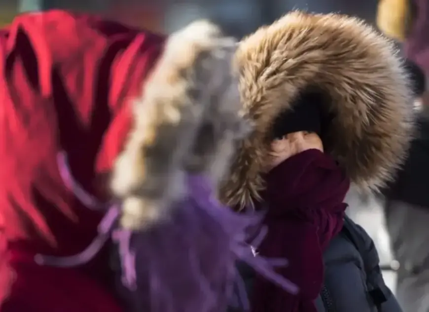
Toronto is bracing for an extreme Arctic blast that is predicted to affect the Greater Toronto Area (GTA) from Friday afternoon until Sunday morning. This dangerous surge of frigid air could lead to wind chills plunging into the -30s, increasing the risk of frostbite on exposed skin in mere minutes.
Severe Cold Warning in Effect
Meteorologist Carl Lam from 680 NewsRadio has issued extreme cold warnings as temperatures are expected to drop significantly. Daytime temperatures may reach the -10s, while nighttime lows could plummet into the -20s. These forecasts coincide with a week that has already seen temperatures below seasonal averages.
Weather Conditions Leading Up to the Cold Snap
- Thursday will feature mostly cloudy skies with limited sunshine.
- Light snow is expected, resulting in 1 to 2 centimeters of accumulation.
- Afternoon temperatures will hover around -4°C, with a wind chill of -14°C.
As the evening falls, temperatures will dip to -11°C, accompanied by a wind chill nearing -20°C.
Weekend Forecast: A Continuing Deep Freeze
- Saturday: Anticipated highs of -16°C and lows of -20°C, with mostly sunny conditions.
- Sunday: Increased cloud cover as a storm system approaches, with chances of moderate snow. Expect highs of -6°C and lows of -13°C.
Winds are expected to remain strong, with gusts between 30 and 50 km/h contributing to a significant drop in temperature. As the Arctic air mass deepens, the greatest risk for frostbite will occur when temperatures fall to -23°C overnight, combined with a dangerous wind chill of -31°C.
Preparations and Precautions
Residents are urged to take precautions against the severe cold conditions. Dress in layers, limit time outside, and ensure that pets are kept warm. Local authorities will continue to monitor the situation closely as forecasts may change with ongoing shifts in the storm track.
For more updates and extended forecasts, visit Filmogaz.com.