


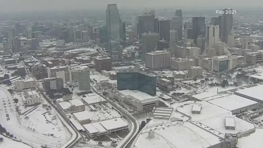
Dallas weather turns sharply colder with rain, then ice and wintry mix risk late week
Dallas weather is calm and cool right now, but the bigger story is the late-week pattern change: a push of Arctic air is set to arrive early Friday, increasing the chance that rain flips to freezing rain, sleet, and even snow as temperatures tumble. That combination can create slick roads quickly, especially on bridges and elevated highways, and it can also affect flight operations at Dallas–Fort Worth International Airport.
Dallas weather right now: cool, cloudy, and steady
As of the latest update, Dallas is cloudy near 54°F (12°C). Today stays on the mild side for January standards, with a mix of clouds and occasional sun, but the atmosphere is already setting up a more active stretch later in the week.
A separate airport weather warning has been issued for DFW for strong wind gusts (35+ knots) through late morning into midday CST, a factor that can slow ground operations and create bumpy takeoffs/landings.
Dallas weather day-by-day: the 7-day outlook
Here’s a practical snapshot of what to expect, with the most important impacts called out:
| Day | High / Low | What it feels like | Main concern |
|---|---|---|---|
| Tue, Jan 20 | 56°F / 50°F | Mostly quiet | Clouds and sun |
| Wed, Jan 21 | 64°F / 48°F | Milder | A couple passing showers |
| Thu, Jan 22 | 59°F / 42°F | Cooling trend | Spotty showers |
| Fri, Jan 23 | 49°F / 24°F | Turning sharply colder | Rain, then ice risk late |
| Sat, Jan 24 | 26°F / 19°F | Very cold | Snow/sleet/freezing rain possible |
| Sun, Jan 25 | 29°F / 15°F | Bitter cold | Lingering low clouds, refreeze risk |
| Mon, Jan 26 | 33°F / 24°F | Cold but improving | Drier, more sun |
The key inflection point is Friday into Saturday, when the cold air deepens enough to support frozen or freezing precipitation.
Dallas weather late week: why Friday–Saturday could be disruptive
The late-week setup is the classic North Texas troublemaker: moisture arrives first as rain, then temperatures drop fast behind an Arctic front. When cold air undercuts lingering moisture, precipitation can change form quickly—sometimes within a few hours.
What to watch most closely:
-
Timing: The colder air is expected to arrive early Friday, with wintry precipitation more likely midday Friday into Friday evening, and the risk continuing into Saturday.
-
Road impacts: Even a thin glaze of ice can cause major problems. Bridges, overpasses, and shaded roads freeze first.
-
Power and trees: Ice accumulation can weigh down branches and lines; the risk rises if freezing rain persists.
-
Travel: If you have plans Friday night through Saturday, build in flexibility. If precipitation begins as rain, don’t assume roads stay safe once temperatures fall into the 20s.
Details can still shift—especially the exact changeover time and which neighborhoods see more ice vs. sleet/snow—but the overall message is consistent: a major temperature drop plus precipitation equals a higher-impact window.
What to do now: simple prep for Dallas weather changes
If you want to stay ahead of the late-week turn:
-
Plan errands early: Treat Thursday as a good “last normal day” for stocking essentials.
-
Protect pipes: Insulate exposed outdoor faucets, disconnect hoses, and learn where your shutoff valve is.
-
Prepare a small outage kit: Flashlight, batteries, chargers, blankets, and enough meds for a few days.
-
Drive smarter if ice starts: Slow down, increase following distance, avoid sudden braking, and assume overpasses are icy.
-
DFW flyers: Wind gusts today can cause delays, and wintry weather late week can add another layer—check your flight status before heading out.
Dallas weather outlook: cold lingers even after the storm threat
Even once the wintry mix threat tapers, Sunday into Monday stays very cold, with morning lows dipping into the teens. That raises a secondary hazard: refreezing at night, which can keep patches of ice around longer than expected.
If you want, tell me the day/time you need to be out (commute, flight, road trip), and I’ll tailor the Dallas weather risk window for that specific plan.


