


Metro Detroit Faces Severe Cold and Increased Snowfall
Metro Detroit is currently under a 4Warn Weather Alert due to severe cold and increased snowfall. The National Weather Service has issued a Winter Weather Advisory for all of Southeast Michigan, effective until 10 AM. This advisory comes as lake effect snow showers are expected to cover some roadways, creating hazardous driving conditions alongside blowing snow and extreme wind chills as low as -15°F.
Forecast Overview
High temperatures today will struggle to reach the teens, but wind chill factors will make it feel like single digits. Residents are advised to take precautions while commuting.
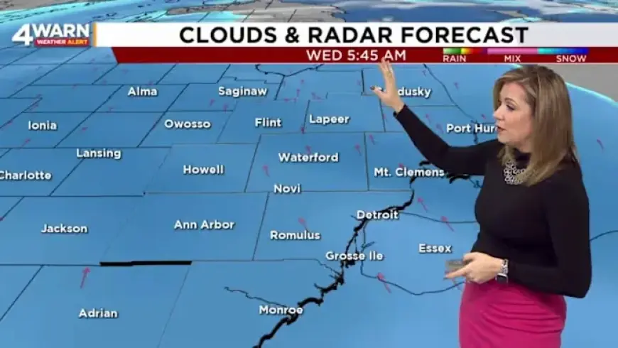
Upcoming Snowfall
Another wave of accumulating snow is anticipated from late tonight through Wednesday morning. Forecasters predict an additional 1-3 inches will accumulate during this period, potentially affecting the morning commute.
Temperature Trends
- High temperatures tomorrow will briefly rise to the low 30s before a significant cool down.
- Arctic air is expected to return on Friday, continuing through the weekend.
- Temperatures may only reach single digits on Friday and Saturday.
- Wind chills could plummet below -15°F on Saturday and Sunday mornings.
Ice and Road Conditions
With the combination of cold temperatures and snowfall, driving conditions are likely to remain challenging. Crews are working to clear side streets and major roadways to ensure safe travel.
Metro Detroit residents are urged to stay informed and plan for poor weather conditions as the week progresses. Keep an eye on updates from local meteorologists for the latest information.