


Southern Michigan Braces for Incoming Snow System
Southern Michigan is preparing for an influx of snow as an Alberta Clipper storm system approaches. This weather system is expected to arrive by Tuesday night, bringing light to moderate snowfall across the region.
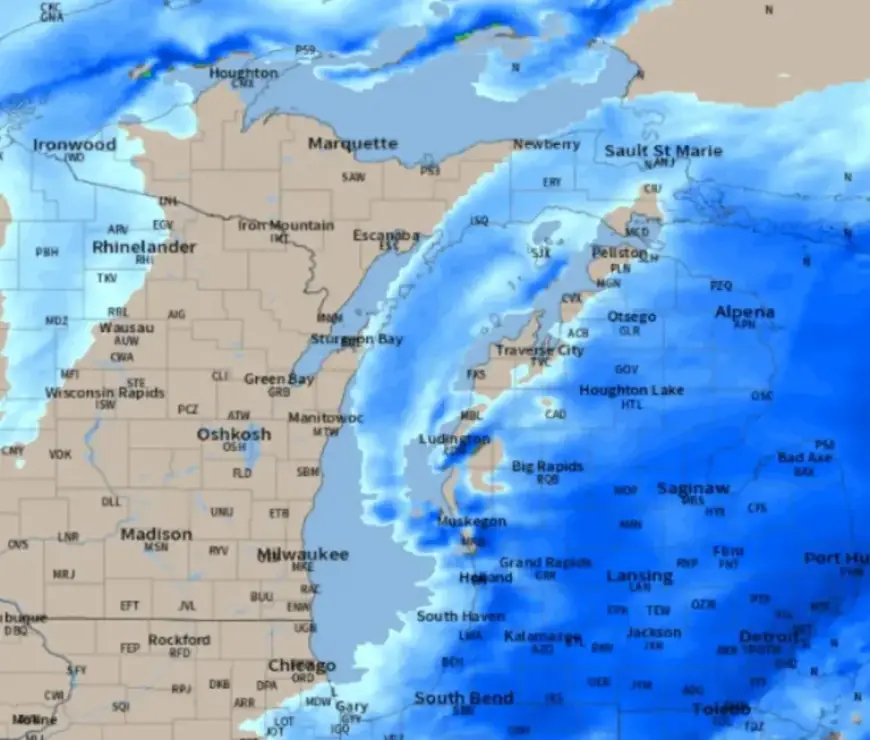
Weather Forecast for Southern Michigan
The upcoming storm is characterized by its rapid movement. This means that while it won’t be a significant snowstorm, it will still lead to hazardous road conditions due to the nature of the Arctic air.
Snowfall Predictions
The forecast indicates that the southern half of Lower Michigan will experience the heaviest snowfall. Here are the details:
- Timing: Snow is expected to begin falling Tuesday night.
- Snow Accumulation: 1 to 3 inches for most areas in southern Lower Michigan.
- Lake Michigan Shore: Areas from South Haven to Muskegon may see 4 to 5 inches of snow.
Road conditions will likely begin to deteriorate by Wednesday morning, with slick spots appearing despite relatively low total snowfall amounts.
Cold Temperatures Ahead
Following the passage of the Alberta Clipper, harsh Arctic air will sweep across Michigan. Temperatures on Friday and Saturday are expected to struggle to remain above zero degrees.
Residents should stay informed on the storm’s development and potential changes in snowfall predictions. Be cautious on the roads, especially during Wednesday’s morning rush hour.
For continuous updates on this Alberta Clipper snow system, visit Filmogaz.com.


