


Chicago Weather Turns Dangerous: Windy Deep Freeze, Light Snow, and Sub-Zero Nights Grip the City This Week
Chicago is heading into a punishing stretch of winter weather as windy, “dangerously cold” conditions take hold to start the week, followed by brief moderation and then another sharp plunge toward the weekend. Light snow is expected at times, but the bigger story is the cold: multiple days with highs in the single digits and nights dipping well below zero.
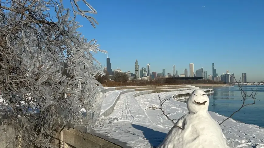
As of Monday morning, Chicago is seeing light snow and temperatures near 20°F (-7°C), with conditions set to worsen into a frigid afternoon and evening.
Windy and frigid Monday sets the tone
Monday, January 19 is forecast to be windy and frigid, with times of sun and clouds and temperatures struggling to reach 9°F (-13°C) before falling to 4°F (-16°C) overnight.
Even without heavy snowfall, wind combined with extreme cold can quickly create hazardous conditions for anyone commuting, waiting for transit, or working outdoors. City residents are being urged to take extra precautions with exposed skin, pets, and vehicles—especially during morning and evening hours when temperatures are at their lowest.
A brief break Tuesday, then snow returns Wednesday
A short-lived warmup arrives Tuesday, January 20, when skies turn cloudier and temperatures rise to about 22°F (-6°C) with a low near 20°F (-6°C).
By Wednesday, January 21, Chicago should see breezy conditions and a little snow, with a storm total of roughly 1–2 cm. Morning travel may be slow and slippery, before improving later in the day as conditions stabilize. Highs are expected around 28°F (-2°C), with a low near 12°F (-11°C).
Another sharp plunge late week: sub-zero lows return
The cold reasserts itself Thursday, January 22, with a high near 21°F (-6°C) and a nighttime low around -7°F (-22°C).
The most severe stretch appears late week into the weekend:
-
Friday, January 23: Mostly cloudy and frigid, High 2°F (-17°C) / Low -5°F (-21°C)
-
Saturday, January 24: Frigid with considerable cloudiness, High 7°F (-14°C) / Low 4°F (-16°C)
This pattern is typical of Chicago’s mid-winter volatility: quick oscillations between “less cold” and “dangerously cold,” often with minimal snow but major impacts from temperature and wind.
Chicago 7-day snapshot
Here’s the week ahead at a glance:
| Day | Forecast theme | High / Low |
|---|---|---|
| Mon, Jan 19 | Windy, dangerously cold | 9°F / 4°F |
| Tue, Jan 20 | Cloudier, less cold | 22°F / 20°F |
| Wed, Jan 21 | Breezy, light snow (1–2 cm) | 28°F / 12°F |
| Thu, Jan 22 | Very cold again | 21°F / -7°F |
| Fri, Jan 23 | Frigid | 2°F / -5°F |
| Sat, Jan 24 | Frigid, cloudy | 7°F / 4°F |
What this means for commutes, schools, and daily routines
With the cold taking center stage, the most likely disruptions come from ice risk, vehicle issues, and health impacts rather than large snow totals. Drivers should be ready for slick patches—especially early Wednesday—while anyone relying on public transit should plan for longer waits in bitter conditions.
Practical steps Chicagoans can take during this stretch:
-
Dress in layers and cover exposed skin during the coldest periods (especially Monday and late week).
-
Keep phones charged and carry essentials if commuting.
-
Check car batteries, tire pressure, and windshield washer fluid rated for freezing temps.
-
Bring pets inside and limit time outdoors.
Chicago’s winter can change fast, but the forecast signal this week is consistent: short bursts of snow, long stretches of harsh cold, and a late-week plunge that could feel even colder in the wind.


