


Foxborough, Massachusetts Weather: Heavy Snow Gives Way to a Breezy Freeze, Then a Midweek Thaw Chance
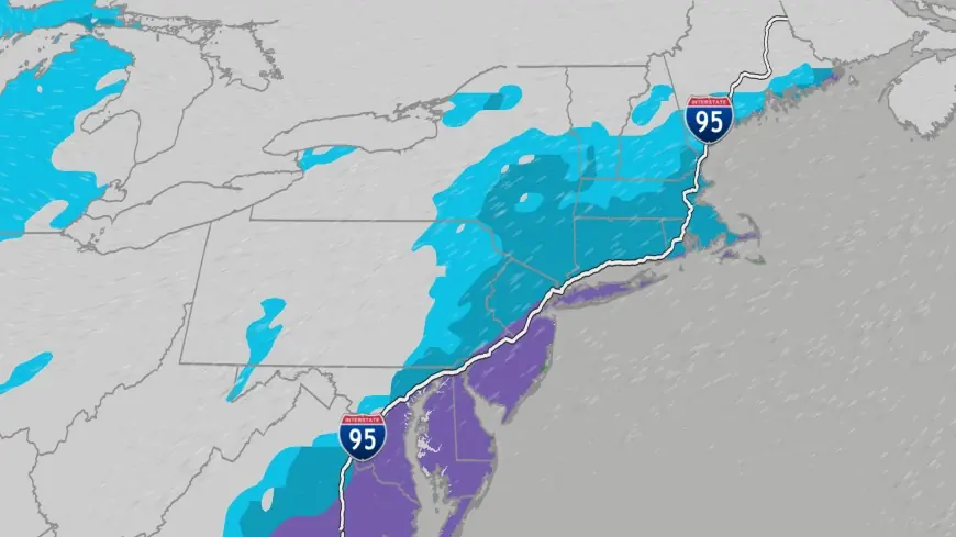
FOXOBOROUGH, Mass. — Winter tightened its grip on Foxborough on Monday, January 19, 2026, as heavy snow continued to fall with temperatures hovering near 31°F (0°C). The storm is expected to taper into lighter snow early, but residents should brace for a sharp shift: breezier conditions and a steep overnight drop are set to follow, turning wet roads into a potential refreeze concern before the region settles into a colder, sunnier pattern.
The immediate headline is snowfall and reduced visibility. The bigger story is what comes next: a quick transition from “slushy” to “slick,” followed by a midweek moderation that could introduce a brief rain/snow mix later in the week.
Snow in Foxborough Today: What’s Happening Now
Foxborough’s current conditions feature heavy snow with temperatures right around the freezing mark. When snow falls at this temperature, it often compacts quickly and can become heavy and wet, making shoveling more strenuous and increasing the chance of slick spots as conditions fluctuate.
On Monday, the forecast calls for mostly cloudy skies with a little snow in the morning and minimal additional accumulation compared with earlier bursts. By afternoon, the more noticeable change is expected to be the wind: breezy conditions can reduce visibility in open areas and push snow back onto cleared surfaces, especially on driveways, sidewalks, and secondary roads.
Road and Commute Impacts: The Refreeze Risk After Snow
Even when snowfall eases, Monday night into Tuesday morning is when hazards can spike. With temperatures expected to fall to around 15°F (-9°C) overnight, any meltwater or slush left behind can freeze hard.
Drivers should pay extra attention to:
-
Bridges and overpasses (they freeze first)
-
Parking lots and untreated side streets
-
Driveway aprons and shaded sidewalks
-
Early-morning school and work routes
For homeowners, the combination of wet snow and falling temperatures can also create heavier ridge lines along roofs and gutters, which is worth monitoring as temperatures swing later in the week.
Seven-Day Outlook: From Snow to Sunshine to a Possible Mix
Foxborough’s week ahead is a classic New England roller coaster: snow and cold, then a brief moderation, then another cold punch.
Here’s the day-by-day setup (high/low):
-
Mon, Jan 19: Mostly cloudy; light snow early, turning breezy — 36°F / 15°F
-
Tue, Jan 20: Mostly sunny, breezy and colder — 24°F / 5°F
-
Wed, Jan 21: Increasing clouds, not as cold — 31°F / 25°F
-
Thu, Jan 22: Mostly cloudy; a rain/snow shower possible — 44°F / 14°F
-
Fri, Jan 23: Colder with some sun — 26°F / 0°F
-
Sat, Jan 24: Bitterly cold with clouds and sun — 11°F / -1°F
The coldest stretch appears to arrive late week into Saturday morning, when wind chill can make even short errands uncomfortable. The warmest day on the board is Thursday, but it comes with a catch: if precipitation arrives during that warmer window, it could be a mix rather than clean rain, and the rapid drop back to colder air afterward can bring another refreeze concern.
What Residents Should Watch: Wind, Ice, and Cold Safety
The weather pattern in Foxborough this week creates a “three-part” safety checklist:
-
Clear early, clear wide: If you’re shoveling or snow-blowing, open up paths wider than usual. Breezy conditions can narrow them again.
-
Treat surfaces before nightfall: With temperatures dropping sharply, applying ice melt or sand late Monday can reduce black ice early Tuesday.
-
Prepare for subzero-style cold later: Saturday’s highs near 11°F (-12°C) and lows below zero mean exposed pipes, pets, and outdoor plans deserve extra care.
Foxborough’s weather can change fast in January, but the sequence is clear: snow now, a windy chill next, and a late-week cold snap that will feel like the harshest air of the month.


