


Weather Drones Transition to Operational US Forecasting
Weather forecasting has long faced challenges due to limited data from the lower atmosphere. This zone, extending from 50 to 20,000 feet above the ground, plays a significant role in severe weather phenomena. Events such as fog formation, storm development, and low-level wind changes originate within this critical layer. However, advancements in technology—specifically through the use of drones—are set to transform operational forecasting in the United States.
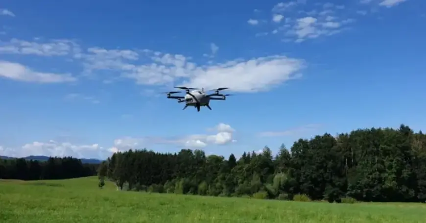
Operational Use of Weather Drones
Meteomatics, a pioneering weather intelligence company, has partnered with the National Oceanic and Atmospheric Administration (NOAA). This collaboration is aimed at integrating operational weather drone data into the National Weather Service for the first time. The drones, known as Meteodrones, will collect vital atmospheric data, significantly enhancing daily forecasting procedures.
Data Collection and Impacts
- Meteodrones perform vertical profiles to measure:
- Temperature
- Humidity
- Wind
- This data is crucial for predicting:
- Thunderstorm development
- Fog persistence
- Precipitation types during winter storms
- Smoke spread and air quality issues
The integration of drone data will enhance the accuracy of forecasts and warnings, particularly in sectors such as aviation, agriculture, and emergency management. This initiative is supported under the National Mesonet Program, where KBR serves as the prime contractor, and Synoptic Data plays a key role in incorporating these observations into NOAA’s systems.
Significance of the National Mesonet Program
The National Mesonet Program currently consolidates data from over 35,000 observation platforms nationwide. This collaboration aims to fill gaps in the weather observation network, especially in the lower altitudes where traditional systems may struggle.
Future of Weather Forecasting
Under the pilot program running until April 2026, Meteomatics will conduct regular drone flights from an operations center in Oklahoma. This setup allows for efficient management of multiple drone sites from a single location, potentially leading to faster data collection and reporting.
Martin Fengler, CEO of Meteomatics, emphasized the importance of public-private partnerships in expanding weather observation capabilities. He noted that Meteodrones are designed to capture data that conventional methods often overlook. Similarly, Ashish Raval, President and CEO of Synoptic Data, stated that the aim is to deliver timely, high-quality data to NOAA and the National Weather Service.
The successful integration of drone technology into weather forecasting marks a significant advancement. The clearer, more robust data provided by these drones is expected to enhance forecasting accuracy as weather events become increasingly unpredictable and severe across the United States.


