


Winter Weather Approaches Northern Gulf Coast; Snow Flurries Unlikely
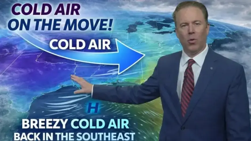
A significant cold front is approaching the northern Gulf Coast, set to arrive Wednesday evening. This weather system will bring a stark drop in temperatures and gusty winds, signaling a chilly Thursday for residents.
Cold Weather Advisory Issued
The National Weather Service has issued a Cold Weather Advisory effective overnight Wednesday into Thursday morning. As the cold front moves in, inland areas are forecasted to experience freezing temperatures. Residents can expect wind chills that feel like they are in the 20s.
Thursday’s Weather Outlook
On Thursday, brisk north winds will intensify before sunrise and persist throughout the day. The combination of wind and cold air will make it feel about 10 degrees cooler than the actual temperature. Despite sunny skies, afternoon highs will struggle to exceed the 40s.
- Freezing Temperatures: Low temperatures are expected inland.
- Wind Chills: Wind chills in the 20s likely.
- Highs: Afternoon temperatures reaching the 40s.
Friday’s Brief Reprieve
Cold air will linger, creating another wave of freezing temperatures Friday morning. However, conditions will improve as winds decrease and sunshine returns. By Friday afternoon, temperatures are anticipated to rise into the low 60s.
Weekend Weather Changes
A new weather system is predicted to arrive over the weekend, introducing another bout of cool air. Forecasts suggest a drop in temperatures for Saturday night and into Sunday.
Possible Snow Flurries
There has been speculation about potential snow flurries late Saturday night into early Sunday morning. However, the chances remain minimal, likely producing only brief flurries around 3–5 a.m. Sunday. With surface temperatures hovering around the mid-30s, no accumulation is anticipated.
Extended Outlook
Chilly conditions are forecasted to persist into the following week. Temperatures are expected to remain below normal, extending this cold stretch beyond typical Gulf Coast weather patterns.


