


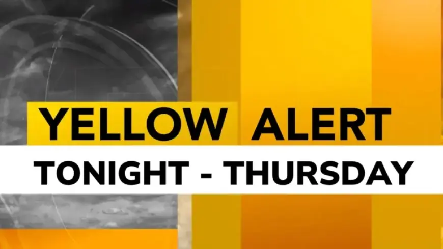
Yellow Alert Issued for Snow and Hazardous Roads on Thursday
Rochester, N.Y., is looking at significant winter weather as a Yellow Alert has been issued for Thursday. This alert signals the potential for accumulating snow and hazardous road conditions.
Forecast Details
The snowfall is expected to begin Wednesday night and continue into Thursday. The projection suggests that this could be the largest snowfall of the season thus far, with totals varying across the region.
Snow Accumulation Estimates
- Finger Lakes: 1-3 inches
- Rochester and areas north and west: 2-4 inches
- Additional lake effect snow: 3-6 inches, primarily north of the Thruway
The initial snowfall will consist of heavier, wetter snow as temperatures hover around freezing. However, temperatures will drop significantly on Thursday, enhancing the fluffiness of the snow and increasing the impact of Lake Ontario.
Impact on Roads
As the snow continues to accumulate, many roads will remain snow-covered and slippery. The morning commute is expected to see the most significant effects, with a further band of lake effect snow likely impacting the evening commute as well.
Travel Precautions
Travelers are encouraged to allow extra time for their journeys. Conditions may be challenging, particularly during commute hours.
Temperature and Wind Chill
As the day progresses, temperatures will plummet, settling in the teens. Wind chills could dip below zero by Thursday afternoon and evening, adding to the harsh weather conditions.
Conclusion
As the Yellow Alert remains in effect, residents and travelers in Rochester and surrounding areas should remain cautious. Preparing for winter weather will be essential to ensure safety on the roads.


