


Flood Threat Escalates with Heavy Rain and Winds in Central Florida
Updated Apr. 7, 2026, 6:38 AM EDT — Flood Threat Escalates across Central Florida as heavy rain and gusty winds continue.
National Weather Service flood watches are in effect for parts of Volusia and Brevard counties. The watches remain active until 8 p.m. Tuesday.
Forecast and expected totals
Areas east of Interstate 4 could receive 3 to 5 inches of rain over the next seven days. The NWS lists most likely totals of 2 to 4 inches, with isolated amounts reaching 5 to 7 inches.
Orange-highlighted zones on weather maps show the highest rain potential along the I-95 corridor. Western communities should expect lower totals, sometimes just a half inch to two inches.
Timing and on-the-ground impacts
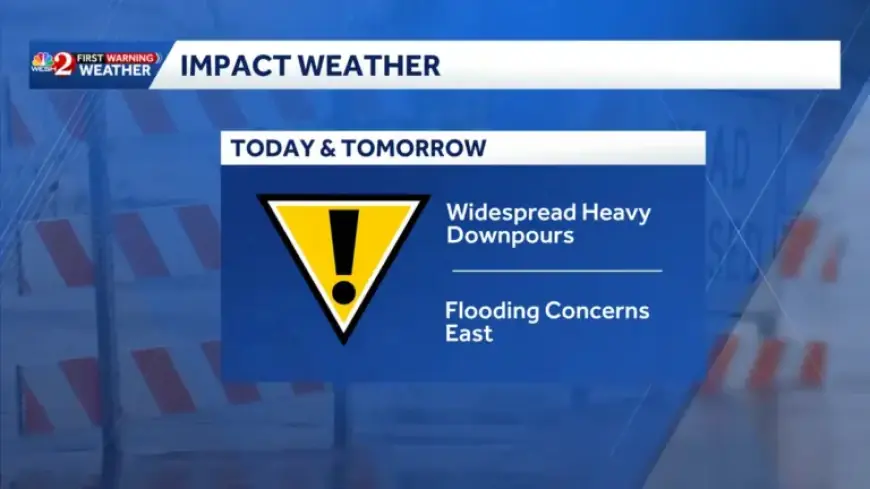
Widespread rain is expected through the morning commute. Peak morning travel may face slick roads and localized downpours.
By late morning, gusts of 20 to 30 mph will accompany rain bands. Afternoon hours will bring scattered showers and pockets of heavier rain, with gusts possibly reaching 35 mph.
Winds, temperatures and hazards
Wind advisories are posted for affected areas. Strong winds combined with heavy rain increase the risk of flooded, hazardous roadways.
Temperatures will remain cool, hovering in the lower 70s for the next couple of days. That limits any significant warming through the period.
Communities most at risk
- I-95 corridor communities from Daytona Beach southward.
- Volusia and Brevard counties, including Palm Coast and Flagler Beach.
- Central Volusia locations, Port St. John, southern Brevard, and parts of Indian River County such as Floridana Beach, Grant-Valkaria, and Micco.
- Interior points seeing heavier bands include Lake Weir, Leesburg, Howey-in-the-Hills, and downtown Orlando.
- Ocala remains comparatively drier than coastal areas.
Agency response and travel guidance
The Florida Department of Transportation is inspecting and clearing drainage systems. Crews are staging pumps and coordinating with the Florida Highway Patrol.
Drivers should monitor Florida 511 for road closures and detours. Expect delays during the morning commute and take extra caution on flooded streets.
Local meteorologists and coverage
First Warning Chief Meteorologist Tony Mainolfi designated Tuesday and Wednesday as Impact Weather Days. The weather team advising viewers includes Eric Burris, Marquise Meda, Cam Tran, and Victoria Wisniewski.
For continuously updated forecasts and alerts, follow Filmogaz.com and local weather feeds.