


Friday Brings Mild, Breezy Conditions Before Snow Returns Saturday
A mild and breezy friday will lift southern Wisconsin into the upper 40s to low 50s, but the comfortable spell will be short-lived as a cold front arrives and ushers in a sharper weekend turn. The brief warmth matters because it precedes a narrow band of snow Saturday that officials have flagged for localized accumulations.
Winds and cold front Friday
Southwest winds will increase late Friday morning, with sustained speeds of 15 to 25 mph and gusts up to 35 mph. That strengthening wind is tied directly to the approaching boundary: the cold front will push through Friday afternoon, shift winds to the northwest and pull temperatures back closer to normal by Friday night. The combination of gusty winds and a frontal passage explains why conditions will feel notably different before and after the transition.
First Alert Day and a narrow band of snow Saturday
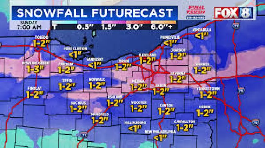
WMTV 15 News has declared Saturday a First Alert Day as a narrow band of snow is expected to move through late Saturday morning into the afternoon. Forecast guidance places possible accumulations at 1 to 3 inches for areas that lie under the band, while locations just outside it could see little or nothing; because the band will be only a few counties wide, the difference between a few inches and minimal impact could come down to a short distance.
Because of that sharp gradient, a Winter Weather Advisory may be issued once the band’s eventual location becomes clearer. The limited width of the system is the key factor driving both the advisory consideration and the potential for abrupt contrasts in snowfall over short distances. What makes this notable is that a narrow feature like this can produce large local variations in travel conditions and accumulation over just one county line.
After the Saturday event, a colder Sunday is expected with highs only reaching the mid to upper 20s. There is also a chance of light snow Sunday night into Monday as a low pressure system develops to the south; the track of that system remains uncertain, which keeps forecast confidence limited for additional accumulations early next week.
Temperatures should begin to recover on Monday into the mid-30s, then climb into the mid to upper 40s by midweek. Model guidance indicates a rain-and-snow mix is possible Tuesday, followed by drier conditions Wednesday, before rain chances return Wednesday night into Thursday. Those midweek shifts reflect the broader pattern change after the weekend’s cold push.
Travelers and residents should note the timing: gusty southwest winds and the frontal passage on Friday set the stage for the colder, snow-prone Saturday. Advance planning is advisable where travel intersects the narrow Saturday band, and watch for any Winter Weather Advisory that may be issued as the band’s position refines.