


Spring 2026 Forecasts for Quebec Unveiled
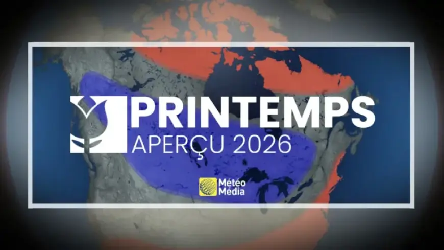
Spring 2026 is shaping up to be an active season for precipitation in Quebec, as experts unveil their forecasts. The unique combination of a persistent cold air dome over the Canadian Prairies and warm conditions in the southern United States is setting the stage for significant weather events.
Forecast Overview
According to André Monette, a meteorologist, the contrasting air masses will create an active corridor stretching from the Gulf of Mexico through the Great Lakes to Quebec. This situation is expected to bring above-normal precipitation across most of the province, with the exception of areas east of Rimouski and in northern Quebec.
Snowfall Expectations
Springtime in southern Quebec typically sees about 50 cm of additional snowfall. Central regions can expect 75 cm and the eastern sector may receive up to 100 cm. However, Monette predicts that this year’s snow amounts may exceed these averages.
- Normal spring snowfall in southern Quebec: 50 cm
- Normal in central Quebec: 75 cm
- Normal in eastern Quebec: 100 cm
The trajectory of weather systems suggests that significant snowfalls are likely, especially in the early part of the season. Past events, such as the notable snowstorms of March 3-5, 1971, and March 14-15, 2017, highlight the potential for severe weather. During those storms, Montérégie received over 50 cm of snow, with Sutton recording up to 119 cm. Major disruptions, like the traffic chaos on Highway 13 in Montreal, serve as a reminder of spring’s unpredictability.
Flooding Concerns
Given the winter’s heavy snowfall and anticipated spring rains, flooding is a significant concern this season. However, current conditions suggest some positive news regarding snowpack levels, which may mitigate severe flood risks.
This upcoming spring in Quebec is likely to be marked by heightened precipitation, presenting challenges and potential impacts for residents and infrastructure. Stay informed as conditions evolve and prepare for an active season ahead.