Wind Advisory Puts Southern Michigan Drivers and Property at Risk During a Wild, Rolling Weekend of Fog, Hail and Snow

The immediate impact lands on commuters and anyone with unsecured outdoor gear: a wind advisory is in effect for parts of southern Michigan as gusty southwesterly winds combine with rain Friday and a renewed shot of snow by Sunday. High-profile vehicles, tree limbs and outdoor equipment are singled out as the first to feel the effects, and travel conditions are expected to vary quickly through the weekend.
Wind Advisory: who will feel it first and why it matters
Gusts up to 45 mph are expected at times, with persistent southwesterly flow around 30 mph and stronger gusts during afternoon hours. The advisory warns that unsecured objects will be tossed, tree limbs could fall and a few power outages may result. Driving may become difficult, particularly for tractor-trailers, SUVs and recreational vehicles. Rain across much of southern Michigan is likely to accompany the stronger winds Friday morning, increasing slipperiness on roads.
- Notices list the advisory lasting until 9 p. m.; start times are described as Friday morning in some messages and as 10 a. m. to 9 p. m. ET in others. This timing discrepancy is notable for planning trips and outdoor work.
- Expect wind chills to fall as temperatures drop later in the day; gusty winds and falling temperatures together raise the risk for brief service interruptions.
Here's the part that matters for anyone planning to travel: gusty, gust-driven conditions plus rain or melting snow can make highway driving and high‑profile vehicles unpredictable. The wind advisory should prompt extra caution for large vehicles and anyone towing or carrying unsecured loads.
Weather details, short timeline and localized impacts
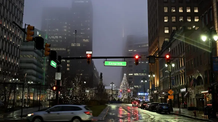
The region has been cycling through multiple hazards: hail one evening, dense fog that reduced visibility to a quarter-mile or less during a morning commute, then strong winds and the chance of rain and snow through the coming days. Hail was reported in several communities, including half‑dollar-size stones in two township locations and quarter‑size pellets elsewhere. Dense fog prompted an advisory for several counties; drivers were urged to use low beams and allow extra travel time.
| Timing (day) | Expectation |
|---|---|
| Friday | Rain showers with gusty southwest winds; advisory through 9 p. m. (start noted as Friday morning or 10 a. m. in different messages) |
| Saturday | Colder with highs falling into the 40s |
| Sunday | Snow returns to southern Michigan—higher chance in southwest areas—and temperatures dip further |
What’s easy to miss is how rapidly the hazard mix shifts: pockets that see rain and strong gusts Friday can transition to snow showers and colder air by the weekend, extending travel impacts into Monday in some southwest areas.
- Half‑dollar hail was observed in two township locations; quarter‑size hail was reported in two other communities.
- Fog reduced visibility to a quarter‑mile or less, prompting travel advisories for multiple counties during a morning commute.
- Snow chances increase Sunday, with higher probabilities in the southwest portion of the state and lingering cold into Monday.
The real question now is whether gusts will concentrate in corridors used by long-haul trucks and whether any fallen limbs will interrupt power briefly. If you’re wondering why this keeps coming up, note that a stalled warm front has been cited as the mechanism keeping fog and intermittent storms nearby before colder air moves back in.
Key takeaways:
- Expect gusts up to about 45 mph and steady southwesterly winds near 30 mph, with the strongest gusts in the afternoon.
- Advisories run through 9 p. m.; start times vary by notice—plan for impacts throughout Friday.
- Driving hazards include low visibility from dense fog and difficulty for high‑profile vehicles in gusts and rain.
- Hail has already occurred in several townships; snow chances pick up again Sunday, especially in the southwest.
- Brief power outages are possible where tree limbs come down.
Prepare by securing loose outdoor items, allowing extra travel time and avoiding unnecessary highway travel during peak gust periods. The real test will be how localized gusts and precipitation type evolve across the region; signs of concentrated damage or outages would confirm a more severe local impact.
Editorial aside: The bigger signal here is the rapid flip between warm, moist air and a colder push—it's the reason residents saw hail, dense fog and then a shift toward gusty winds and returning snow all within the same forecast window.


