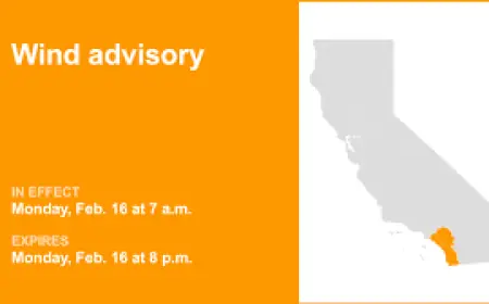


Fire Weather Watch: Colorado, Nebraska and Wyoming Face Elevated Wildfire Threat
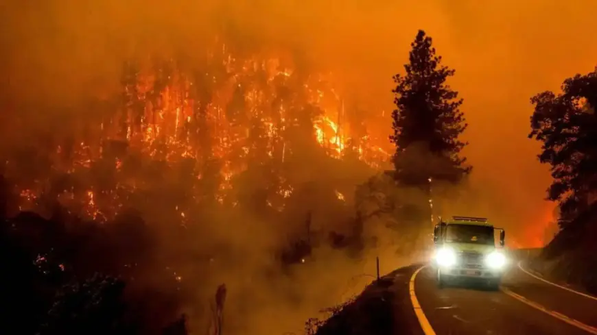
Dangerous fire weather is unfolding across the central Plains and southern Rockies, with Fire Weather Watches and red flag conditions in effect as gusty winds, very low humidity and unusually warm temperatures create an environment where even small sparks can erupt into rapidly spreading wildfires.
What to expect this week
Forecasters say the most intense conditions are expected through early next week, with the highest threat centered on Tuesday (ET). In eastern Colorado, wind gusts could reach as high as 60 mph while relative humidity drops into the low teens — numbers that make fire starts especially hazardous and unpredictable. Across southeast Wyoming and the western Nebraska Panhandle, Sunday brings critical fire danger with sustained winds of 20 to 25 mph and gusts near 40 mph, combined with humidity readings between 10 and 15 percent.
Temperatures are running well above normal in many of the affected areas. Some locations are as much as 20–25 degrees above typical February values, pushing daytime highs into the 60s and 70s. Warm, dry air and persistent wind will dry out grasses and brush that remained from last season, creating abundant fuel for any ignition.
Where risk is highest and what residents should do
Fire Weather Watches and warnings cover the Colorado Front Range and I-25 corridor, portions of the Nebraska Panhandle and the Sandhills region, and southeast Wyoming including communities near Cheyenne. Additional elevated fire danger extends into parts of western Kansas, the Oklahoma and Texas panhandles, and areas of southern and central Colorado.
Local officials urge residents to avoid all outdoor burning and to postpone activities that could produce sparks, such as welding, using equipment that can produce a hot spark, or operating off-road vehicles in dry grass. Those in high-risk zones should prepare for potential evacuations: create or refresh a go-bag, secure livestock, remove flammable materials from around homes, and have multiple ways to receive emergency alerts. Motorists should be cautious; vehicle-related sparks from chains dragging or catalytic converters on dry grass are a common source of wildfire ignitions this time of year.
Why conditions are so volatile and what could change them
The combination creating the threat is straightforward: dry fuels, strong winds and above-average temperatures. Even where snowfall occurred earlier in the winter, warming has dried out grasses and brush. Gusty west or southwest winds will both fan any flames and carry embers long distances, making containment difficult once a fire gains momentum.
There is some relief in the forecast later in the week, with cooling and a chance for rain or snow returning to parts of the region by mid- to late week. That could help reduce fire danger, but forecasters caution that the next 48–72 hours are the most critical for fire starts and rapid growth. Residents and land managers should treat warnings seriously and minimize any activities that could spark a blaze until humidity recovers and winds ease.
Preparedness now — avoiding outdoor fires, clearing defensible space, and staying alert to local advisories — is the best way to reduce the risk to life and property during this period of elevated fire danger.