


When Will Central NY’s Extreme Cold Finally End?
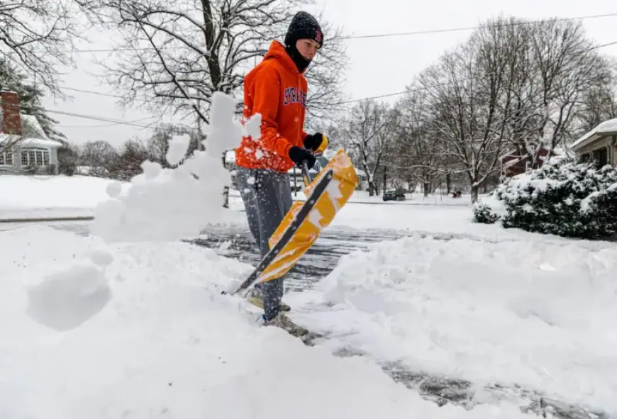
The extreme cold gripping Central New York is expected to ease gradually starting Monday. However, wind chills will remain dangerously low through the morning. An extreme cold warning is active until 1 p.m. on Sunday. Following this, a cold weather advisory will last until 10 a.m. Monday.
Current Weather Conditions
Wind chills are projected to range from minus 20 to minus 30 degrees this morning. Although these conditions are expected to improve, they will still hover between minus 10 and minus 20 degrees through Monday morning. The National Weather Service has issued warnings regarding the risk of frostbite on exposed skin, which can occur in as little as 30 minutes.
- Sunday temperatures will slowly rise through the single digits.
- Nighttime temperatures are expected to drop again.
- North to northwest winds will bring light snow showers near Lake Ontario and the Finger Lakes.
Upcoming Weather Changes
Relief from the arctic air is anticipated on Monday afternoon. Syracuse Hancock International Airport has recorded 16 consecutive days featuring temperatures below 32 degrees. However, Tuesday presents an opportunity for temperatures to finally exceed freezing.
Tuesday’s Forecast
A weak clipper system will move through the region on Tuesday morning. This system will generate a band of light snow extending from the Finger Lakes towards the New York Thruway corridor. Oneida County could experience one to two inches of enhanced snowfall due to terrain, while surrounding areas are likely to see lower amounts.
- Expect spotty precipitation after the morning snow as warmer air moves in.
- Mid-level warming, combined with marginal surface temperatures, may lead to patchy freezing rain and drizzle.
Following this activity, light lake-effect snow showers may persist into the middle of the week, as temperatures approach normal seasonal averages.