


Winter’s Fury: Snow, Wind, and Cold Close Out the Work Week
As winter makes a robust return, Waterloo Region is bracing for a significant weather shift as the work week comes to a close. The area is expected to experience a mix of snow, powerful winds, and extreme cold, all making an appearance before the weekend.
Forecast Overview: Snow and Wind
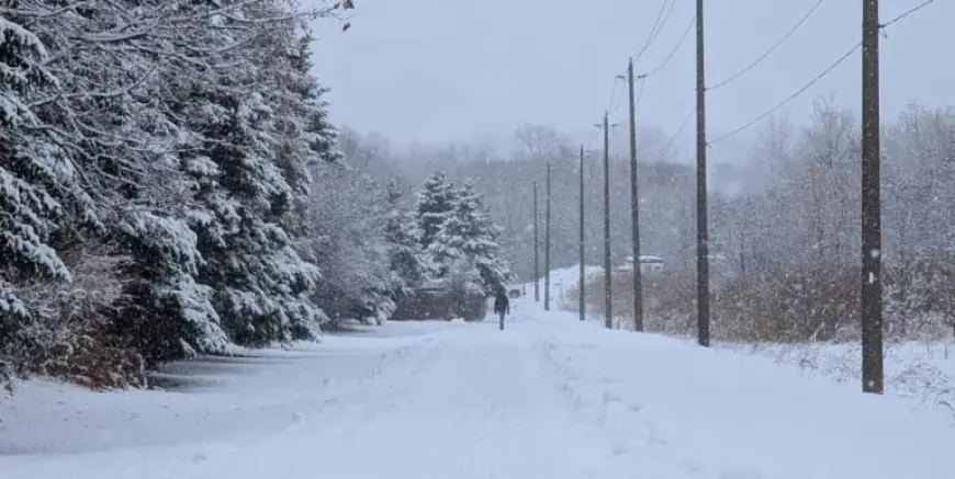
Environment Canada has warned residents of Waterloo Region to prepare for snowfall during the morning commute. Accumulations of 4 to 8 centimeters may be possible, although local weather specialist Denise Andreacchi anticipates actual amounts to be lower, estimating around 2 to 4 centimeters.
Blowing Snow Advisory
A yellow advisory for blowing snow is currently in effect across the region. Gusty winds later in the day may further exacerbate driving conditions.
- Expected Snowfall: 2 to 4 cm
- Winds: Gusts of 70 to 80 km/h
Andreacchi indicates that visibility will be significantly affected by blowing snow, particularly on roadways during the afternoon. Drivers are advised to exercise caution while navigating these conditions.
Extreme Cold Ahead
As the day progresses, a deep cold front will move in. Friday night temperatures are projected to plummet to -20°C, with wind chills making it feel as frigid as -33°C. This level of cold poses real risks of frostbite, emphasizing the need for warm clothing or even staying indoors.
Upcoming Weekend Weather
While Friday may be challenging for commuters, Saturday offers a clearer outlook. Although temperatures will remain low, peaking at just -15°C, residents can expect ample sunshine throughout the day.
- Friday Night Low: -20°C
- Wind Chill: Feels like -33°C
- Saturday High: -15°C with sunshine
As winter’s fury takes hold, staying informed and prepared is essential for all in Waterloo Region. By following weather updates and taking precautions, residents can navigate these harsh conditions safely.