


Bomb Cyclone to Slam Southeast with Snow and Hurricane-Force Winds This Weekend
A significant winter storm is set to impact the Southeast this weekend, bringing heavy snowfall and hurricane-force winds. The storm, which is undergoing rapid intensification, is expected to begin affecting regions from late Friday into Saturday, primarily along the southern Appalachians, the Carolinas, and southern Virginia.
Storm Overview
This powerful weather system, known as a bomb cyclone, will develop off the North Carolina coast. It is anticipated to strengthen as it moves northward on Saturday, leading to widespread winter weather alerts.
- 28 million people across the Southeast are under winter storm watches or warnings.
- Areas affected include northern Georgia, the Carolinas, and southern Virginia.
- This comes on the heels of a previous deadly winter storm affecting these regions.
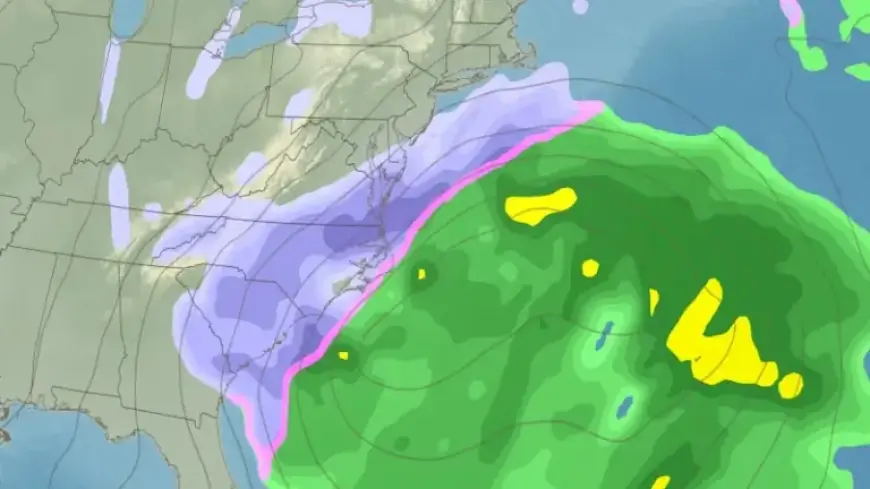
Snow Accumulation Forecast
Snowfall is expected to accumulate particularly in central and eastern North Carolina and southern Virginia. Projections indicate:
- 5 to 10 inches of snow in central and eastern North Carolina.
- Significant snow in Raleigh, Greensboro, and Norfolk.
- Lower totals of snow in parts of South Carolina and eastern Georgia, but even light accumulations can disrupt traffic.
Rapid accumulation is likely due to pre-existing cold air, which will enhance snow sticking to untreated surfaces. Deteriorating travel conditions are a significant concern, persisting into Sunday morning.
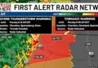
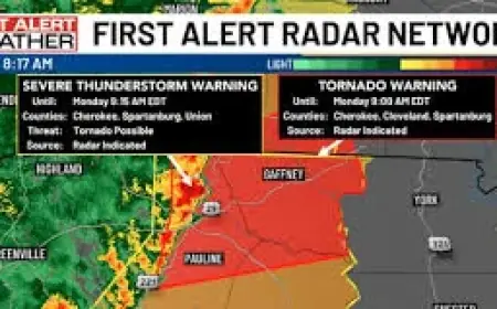
High Winds and Blizzard Conditions
As the bomb cyclone strengthens offshore, wind speeds will increase dramatically. The forecast predicts:
- Hurricane-force gusts, potentially reaching up to 75 miles per hour along the North Carolina and Virginia coasts.
- 25 to 35 mph gusts extending inland to Georgia, the Carolinas, and southern Virginia.
Where heavy snowfall coincides with strong winds, blizzard conditions are likely, leading to dangerously low visibility especially in the Outer Banks and southeastern Virginia.
Coastal Flooding Risks
The storm’s powerful onshore winds will align with some of the highest tides of the month. This combination increases the risk of:
- Moderate to significant coastal flooding during high tide late Saturday into Sunday.
- Overwash and beach erosion, particularly along the North Carolina Outer Banks and Virginia’s Tidewater region.
Flooding and rough marine conditions are also possible in parts of coastal New England if the storm tracks closer to this area, warranting close monitoring of local forecasts.
Stay Informed
While the likelihood of significant winter weather is high, small shifts in the storm’s track can alter its impact. Residents are advised to stay updated with local weather forecasts as the situation progresses over the weekend.