


Tri-State Snowfall: Current Impact and Upcoming Forecast
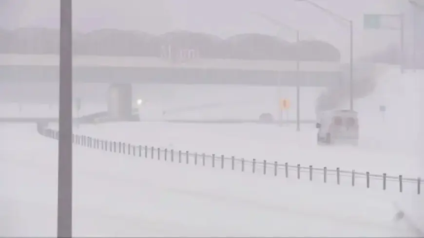
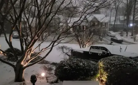
The Tri-State area is currently experiencing a historic winter storm. This weather event has resulted in significant snowfall, affecting travel and safety conditions across the region. The storm began with light snow but quickly escalated, leading to widespread snow accumulations exceeding 10 inches in many locations.
Snowfall Accumulation and Forecast
As of Sunday afternoon, areas to the west of Interstate 71 are projected to receive between 12 and 16 inches of snow by the time the storm concludes. Cincinnati has never officially recorded a snowfall of 12 inches or more within a single 24-hour period, but this storm could potentially break that record.
Current Snow Totals
- Batesville: 12.9 inches
- Middletown: 11.0 inches
- Hamilton: 10.0 inches
- Mason: 9.5 inches
- Ross: 9.5 inches
- Lawrenceburg: 9.0 inches
- Cincinnati/NKY International Airport (CVG): 9.0 inches
- Monroe: 8.0 inches
In southeastern counties like Robertson, Mason, and Adams, sleet and light freezing rain may hinder snowfall totals, limiting them to a range of 6 to 10 inches. However, if the mixed precipitation is minimal, they might also reach higher accumulations similar to other regions.
Travel Implications
Winds ranging from 10 to 15 mph, with potential gusts, are contributing to blowing snow and complicating travel conditions. Roads are expected to remain hazardous even after the snowfall ceases.
Weather Warnings and Advisories
A Winter Storm Warning is in effect until noon on Monday, while a Cold Weather Advisory will take place from midnight Sunday through 6 p.m. Tuesday. An Extreme Cold Warning is also in place starting from 6 p.m. Monday until noon Tuesday, with wind chills expected to drop to minus 15 degrees or lower.
Looking Ahead
After the storm passes, bitter cold temperatures will continue to be a concern. Wind chills are predicted to range from minus 5 to minus 10 degrees Sunday night into Monday, and may drop to minus 15 or colder Monday night through Tuesday morning.
Residents are advised to take precautions and remain vigilant regarding travel and outdoor activities during this extreme weather event. Stay updated for further forecasts and conditions at Filmogaz.com.