


Huge Winter Storm Slams Upstate NY: Timing, Impact, and Snowfall Details
The winter storm affecting Upstate New York is significant, impacting a vast area as part of a larger weather event across the United States. Forecasts predict that all of Upstate New York will experience considerable snowfall, with a minimum accumulation of 7 inches and some areas possibly receiving up to 15 inches.
Winter Storm Overview
This storm is advancing from the Southwest towards the Northeast, with snow beginning in Western New York before dawn on Sunday and reaching the Capital Region around 8 a.m. The National Weather Service has expressed high confidence that most regions will receive a foot or more of snow.
Storm Path and Precipitation
Originating from an atmospheric river from the Pacific Ocean, the storm will gather moisture as it moves across the South and into the Northeast. Areas like Nashville and Dallas may experience significant rain and ice accumulation.
- Storm Timing: Snow begins before dawn Sunday.
- Capital Region Arrival: Around 8 a.m. on Sunday.
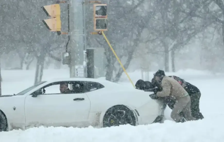
The progression of the storm is expected to be slow, allowing for extensive rain and snow accumulation. The National Weather Service has issued a winter storm warning, prompting Governor Kathy Hochul to declare a state of emergency due to severe cold and snow conditions.
Forecasted Conditions for Upstate New York
On Sunday, temperatures will plummet significantly, with Syracuse recording minus 7 degrees Fahrenheit early in the morning, the coldest temperature in nearly two years. The wind chill is expected to fall to as low as 18 below zero, leading to a cold weather advisory in effect until 10 a.m. on Sunday.
- Sunday Morning: Light snow begins, with about an inch expected by noon.
- Sunday Afternoon: Snowfall rates may reach 1 to 2 inches per hour.
- Snowfall Peak: Most precipitation will occur from 1 p.m. on Sunday to 1 a.m. on Monday.
Forecasts indicate that Syracuse could see up to a foot of snow in this 12-hour time frame. Drivers are advised to exercise extreme caution as the rapid accumulation of snow will likely hinder snowplow operations.
Impact and Precautions
As cold air from Canada mixes with the storm, snowfall is expected to remain consistently light and fluffy, consisting of less moisture compared to typical snowfalls. By Monday morning, further accumulation of 2 to 3 inches may occur between 1 and 7 a.m.
Implications for Schools and Events
The storm’s intensity may lead to school delays or closures; some local events have already been canceled, including Syracuse University’s Dr. Martin Luther King Jr. event scheduled for Sunday.
Expected Conditions Later in the Week
Once the storm retreats, Central New York might see some lake-effect snow. The subsequent week is likely to be the coldest in years, with temperatures not exceeding 20 degrees through at least the next weekend.
Residents are encouraged to stay informed through reliable weather updates as this winter storm unfolds, and be prepared for potential disruptions in daily activities.