


US January 2026 Winter Storm: Detailed Maps and Charts Analysis
A winter storm of significant proportions is poised to impact a vast region of the United States, bringing heavy snow and hazardous ice conditions. This storm will unfold over the days leading up to January 2026, accompanied by dangerously low temperatures that may exacerbate its effects.
Storm Overview
The storm’s influence is expected to stretch over hundreds of miles, affecting various areas differently. The severe weather conditions will span from Friday into early next week, covering the eastern segments of the nation.
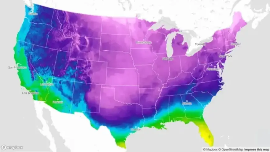
Temperature Changes
- Extreme cold temperatures are anticipated, particularly in the eastern United States.
- For instance, Dallas may experience a drop of 40 degrees in apparent temperature from Thursday to Saturday.
Snowfall Predictions
Forecasts indicate that several regions could receive substantial snowfall. Accumulations of 6 to 12 inches are likely from the southern Plains through the Ohio Valley, mid-Atlantic, and into the Northeast. Certain areas may even see localized totals exceeding one foot.
| Region | Expected Snowfall |
|---|---|
| Southern Plains | 6-12 inches |
| Ohio Valley | 6-12 inches |
| Mid-Atlantic | 6-12 inches |
| Northeast | Locally over 12 inches |
Impact of Cold Temperatures
The cold associated with the storm is likely to speed up the accumulation of snow and ice. This can lead to challenging travel conditions and may create power outages if ice compromises electrical lines. Cleanup efforts could also become problematic due to the increased ice buildup.
Travel and Power Concerns
Residents in affected areas should be prepared for extensive travel disruptions. As snow and ice accumulate, issues are expected to persist into early next week. There are growing concerns over residents potentially losing heat due to power failures.
Tracking the Storm
As the winter storm progresses, Filmogaz.com will continuously update maps and charts to track its potential impacts, including snowfall totals and ice accumulation. Be sure to stay informed about the conditions in your area as the storm develops.