


Extreme Cold Watch: Dangerous Wind Chills Target Multiple Regions as Arctic Air Deepens Into Late Week
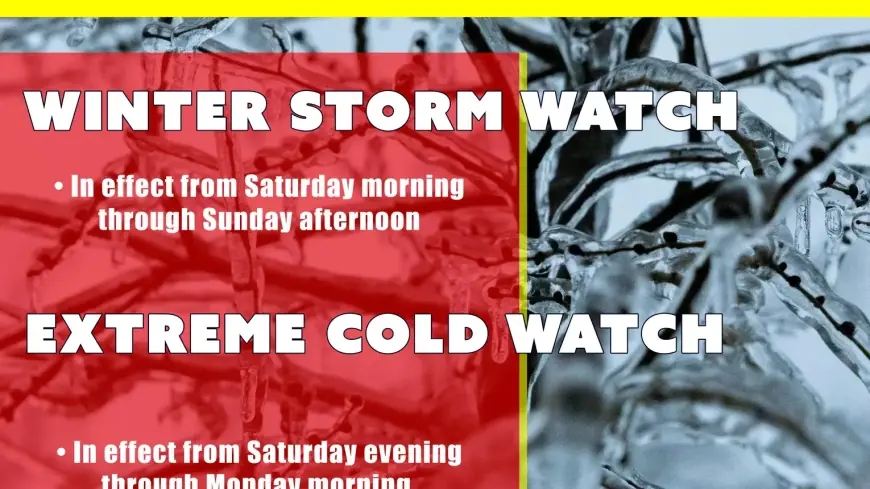
An Extreme Cold Watch is in effect across parts of the United States as a surge of Arctic air pushes south and east, setting the stage for potentially life-threatening wind chills and rapidly rising cold-related risks. The watch signals that extremely dangerous cold is possible, but that the exact timing and the worst-hit locations can still shift—especially near the edge of the coldest air mass.
For many communities, the highest-impact window is expected from Friday into Saturday, when overnight lows and brisk winds can combine to create wind chills cold enough to cause frostbite on exposed skin in a short period of time. Even areas accustomed to winter can see dangerous conditions when winds pick up, and places farther south can face added stress on infrastructure, pets, and exposed plumbing.
What an Extreme Cold Watch means right now
An Extreme Cold Watch is essentially a “be prepared” alert for potential, unusually hazardous cold. It is commonly issued when forecasters see a credible threat of dangerously low wind chills, but the specific details still have room to change.
Here’s how to read it:
-
Extreme Cold Watch: Dangerous cold is possible. Plans should be adjusted now in case the watch is upgraded.
-
Extreme Cold Warning: Dangerous cold is expected or happening. Take immediate protective actions and limit time outdoors.
-
Cold Weather Advisory: Cold is hazardous but typically less extreme than a warning; still capable of causing harm with prolonged exposure.
In recent years, weather messaging has been streamlined, and many locations now use “Extreme Cold” language instead of older “wind chill” watch/warning terminology. The practical takeaway is the same: treat wind chill as a real hazard, not just a number.
Where the Extreme Cold Watch is expanding and why it matters
Current watches and related cold alerts cover a wide swath of the country, with the most intense cold focused across parts of the Upper Midwest and Great Lakes, while watches also extend into additional regions where Arctic air is pressing farther south. Several areas are bracing for wind chills that can drop well below zero, with pockets that could approach dangerous, high-risk thresholds (often around 20 to 40 degrees below zero in the coldest cores, depending on wind).
The risk isn’t limited to one headline city. The most serious impacts typically occur where three ingredients line up:
-
Very cold temperatures (especially overnight and early morning)
-
Steady wind that accelerates heat loss from skin
-
Long exposure times (outdoor work, commuting, school travel, unhoused populations)
When those factors overlap, cold injuries can happen quickly—even for healthy adults who are underdressed or caught outside longer than planned.
Timing: when conditions can turn dangerous
For many locations under an Extreme Cold Watch, the harshest stretch often arrives overnight into early morning—frequently Friday night into Saturday morning—when temperatures bottom out and winds remain active. Even if daytime highs recover slightly, persistent wind can keep wind chills in the dangerous range.
Two patterns can worsen impacts:
-
Flash-freeze risk: Any leftover moisture on roads can refreeze fast as temperatures plunge, creating invisible black ice.
-
Compounding storms: In some regions, snow and wind can accompany the cold, reducing visibility and making travel delays more likely, which increases exposure risk.
Health and safety: what to do during an Extreme Cold Watch
Use the watch period to prepare as if a warning is likely, especially if you’re in a region that frequently upgrades watches within 12–24 hours.
Key actions:
-
Limit time outdoors during the coldest overnight and early-morning hours.
-
Dress for wind, not just temperature: multiple layers, wind-resistant outer layer, hat, gloves, scarf/face covering.
-
Bring pets indoors and check livestock water sources frequently.
-
Protect pipes: insulate exposed lines, open sink cabinets on exterior walls, and let faucets drip if cold becomes extreme.
-
Charge devices and keep backup lighting ready; extreme cold can strain power systems, and outages become more dangerous when heating is disrupted.
-
Winter car readiness: keep at least a half tank of gas, carry a blanket, gloves, phone charger, and a small emergency kit.
Watch for early signs of frostbite (numbness, pale or waxy skin) and hypothermia (shivering that becomes intense or stops, confusion, slurred speech). If symptoms appear, warm the person gradually and seek medical help.
What could change next
An Extreme Cold Watch can be upgraded or adjusted as forecasters gain confidence in the track and strength of the coldest air and the wind pattern. Small shifts in wind speed or cloud cover can make a meaningful difference in wind chills, especially near the edge of the cold pool.
The most important planning mindset is simple: if you’re under an Extreme Cold Watch, act as though dangerous cold is possible in your area and prepare for a quick upgrade to a warning.
If you tell me your city and state (or nearest major metro), I’ll write a localized update with the most likely start/end times, the primary hazard (wind chill vs. temperature), and a short, practical checklist tailored to your conditions.