


Snow Weather Forecast Met Office: Where Snow Could Fall This Week, When It Turns Wintry, and What to Watch
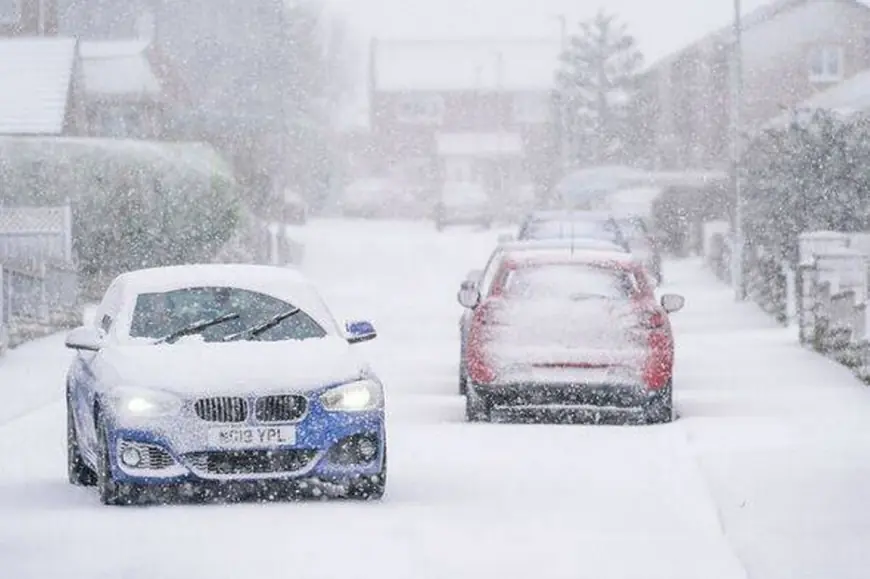
The latest Met Office-style outlook for the UK keeps the theme unsettled and often windy, with rain or showers for many areas and the clearest snow signal mainly confined to higher ground in Scotland through the next few days. For most lowland locations, the bigger day-to-day issues look like bursts of heavy rain, strong gusts, and overnight refreezing risk where temperatures dip, rather than a broad, countrywide snow event.
Met Office snow weather forecast overview (next 3–4 days)
A run of Atlantic systems is keeping the UK in a changeable pattern:
-
Wednesday: Bands of rain continue to move north, with some brighter breaks between them. It stays windy, and temperatures are near or slightly above average.
-
Thursday to Saturday: Further rain or showers for much of the UK. The most persistent rain favors Scotland, and the most consistent snow potential remains on high ground, especially in the north.
What that means in plain terms: if you’re at elevation—think higher routes, passes, and mountain roads—wintry bursts are more plausible, even while nearby lowlands see cold rain or showers.
Where snow is most likely (and where it’s least likely)
Higher chance of snow (mainly higher elevations)
-
Scottish Highlands and higher ground (including exposed routes where precipitation can turn wintry quickly)
-
Highest peaks in northern England at times, if colder air briefly wraps in behind showers
Lower chance of snow (mostly rain/showers)
-
Most lowland areas across England and Wales
-
Lower elevations in Northern Ireland
-
Coastal fringes, where milder air tends to win out
Because the pattern is showery and windy, snow risk can be very local: a short-lived heavier shower over high ground can give a quick covering, while valleys stay wet.
The “sleet-to-snow” tipping point to watch
If you’re trying to judge whether a wet forecast could flip wintry, keep an eye on:
-
Temperature near 2°C or lower during heavier precipitation
-
Strong winds (can pull colder air down on the back edge of showers)
-
Timing: overnight and early morning are most favorable for wintry precipitation
Even without major snowfall, these conditions can increase the chance of slushy roads, icy patches, and reduced visibility on exposed routes.
Weather warnings: how to use them for snow and ice
Met Office warnings (when issued) are impact-based, not just “how much falls.” A quick guide:
-
Yellow: Disruption is possible (slower travel, some difficult driving, delays).
-
Amber: Disruption is likely (greater travel impacts, higher chance of power issues, more widespread hazards).
For snow setups, the biggest risk is often not deep drifts in cities—it’s short, intense bursts, hill routes, and rapid temperature drops that turn wet roads icy.
Practical planning for the next few days
If you’re in or traveling through higher ground:
-
Treat any “showers” forecast as potentially wintry at altitude
-
Avoid last-minute mountain drives; carry basics (warm layers, charger, water)
-
Expect crosswinds on bridges and exposed roads
If you’re in lowlands:
-
Plan around gusty spells and heavy rain bursts
-
Watch for overnight refreeze on untreated surfaces if skies clear briefly
How to get the most accurate Met Office snow forecast for your exact location
National outlooks are useful, but snow is highly local. The best approach is:
-
Check your local hourly forecast (temperature + precipitation type)
-
Check warnings for snow/ice and strong winds
-
Re-check near the event (showery patterns can shift quickly)
If you tell me your UK town/city (or a postcode area), I’ll turn this into a tight, location-specific snow forecast with the most likely timing window, elevation sensitivity, and the main travel-risk periods.


