


Sierra Storm Could Drop Up to 8 Feet; Reno Likely to Start With Rain Before Snow
A powerful winter system is expected to push into the Sierra late Sunday and linger through much of next week, threatening heavy mountain snowfall, hurricane-force gusts on ridgelines and hazardous travel across California and Nevada. Forecasters warn the storm could produce the strongest snowfall since around Christmas, with life-disrupting conditions possible from Sunday evening through Wednesday evening.
Timing and alerts
Snow is forecast to begin Sunday evening, with the most intense precipitation arriving Monday afternoon, Feb. 16, into Tuesday, Feb. 17. Watches are in effect from 10 p. m. ET Sunday, Feb. 15, through 10 p. m. ET Wednesday, Feb. 18, for much of the Sierra, including critical passes and the Lake Tahoe basin. Although many lower-elevation areas begin under a watch, conditions could escalate to winter storm warning weather severity in short order as the system intensifies.
How much snow and where
At higher elevations along the Sierra crest, cumulative totals of 4 to 8 feet are possible by Wednesday. Donner Pass and Interstate 80 on the west slope of the Northern Sierra are expected to take the brunt of the heaviest snow. In the Tahoe Basin, lake-level snowfall could reach 18 to 30 inches, with the highest totals along the West Shore and in Alpine County. Some Sierra locations away from the crest may still see 2 to 5 feet of accumulation.
Wind, whiteouts and infrastructure threats
Winds will be a major hazard. Valley gusts are forecast at 35 to 45 mph, while ridges are expected to see much stronger winds—gusts of 45 to 55 mph are likely along many summits, and some Sierra ridgelines could exceed 100 mph. Those winds combined with heavy snowfall may create widespread whiteout conditions, rapidly reduced visibility, and the potential to down trees and power lines.
Road impacts and travel advice
Chain controls are likely along Interstate 80 and other mountain routes, and road closures are possible during peak snowfall. Drivers planning to cross the Sierra for Presidents Day weekend or later in the week are strongly urged to travel before Sunday evening or consider delaying trips. Travel could become very difficult to impossible at times, with high-profile vehicles at particular risk. Motorists should prepare for slow travel, keep emergency kits in vehicles and expect extended delays if roads are open.
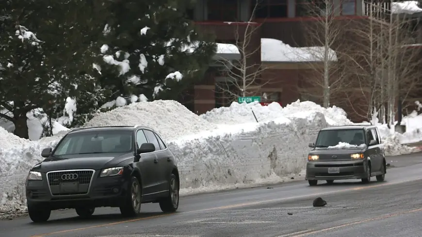
What to expect in Reno and lower elevations
Valley areas, including Reno, will likely begin this system with rain before colder air filters in early next week. Snow could reach the valley floor by Monday night, with a 25% to 60% chance of at least 2 inches in the Reno-Carson region. Foothill communities and higher towns such as Virginia City face a much greater likelihood of measurable accumulation. Even if total snow in Reno is modest relative to high country totals, slick roads and slow travel are likely during the transition from rain to snow.
Preparedness and safety steps
Residents and visitors should monitor local forecasts closely and have plans in place for extended power outages and limited mobility. Secure outdoor items, fill prescriptions and assemble emergency supplies including food, water, flashlights and chargers. Recreational users and backcountry travelers should be aware of heightened avalanche risk under heavy, wind-loaded snow and consider postponing nonessential travel into high alpine terrain until conditions stabilize.
This storm carries the potential for swift changes and significant impacts across the Sierra and adjacent valleys. If travel is necessary, leave early, carry chains and be prepared to turn back if conditions deteriorate.