


Boston braces for a high-impact snow forecast as cold and wind raise the stakes through Jan. 26
Boston’s next snow forecast is shaping up to be more than a one-day inconvenience. The bigger disruption comes from the mix of heavy accumulation, gusty wind, and a deep cold backdrop that can turn roads slick quickly and keep them that way even after plows pass. The most sensitive window runs from Sunday morning (Jan. 25) into Monday night (Jan. 26), when travel conditions can swing from “slow but moving” to “nearly impossible” in a matter of hours—especially on bridges, overpasses, and untreated side streets.
The risk isn’t just snow totals—it’s how fast conditions deteriorate
A major winter setup like this strains Boston in predictable ways: transit schedules thin out, flights get reshuffled in batches, and deliveries slow as crews prioritize main arteries. But what tends to catch people off guard is the speed of change once heavier bands set in. When snowfall rates surge, plows can’t keep every lane consistently clear, visibility drops, and even short trips start taking twice as long.
Cold adds a second layer of trouble. Low temperatures can reduce how quickly treated surfaces improve, and refreezing becomes a persistent problem where tires pack snow into a dense, slippery layer. Wind gusts can also push snow back across recently cleared roads, and drifting can re-block exposed corridors.
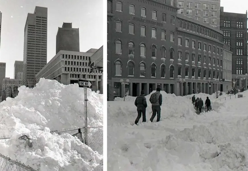
A Winter Storm Warning is in effect for Boston’s area, with expected heavy snow and wind gusts that can reach roughly the mid-30s mph at times. Forecast snow totals in the warning area sit in the 13–19 inch range, with the usual caveat that localized bands can produce higher pockets. The warning window runs from 7:00 a.m. Sunday to 8:00 p.m. Monday (Eastern Time), covering both the Monday morning commute and the evening return trip.
Forecast details for Boston: timing, totals, and where the headaches concentrate
The forecast calls for a frigid lead-in on Saturday (Jan. 24), followed by snow arriving Sunday and continuing into Monday. While exact hourly intensity can shift as the storm unfolds, the broad message for the city is consistent: Sunday into Monday is the high-impact period, and Monday’s improvements may lag because temperatures remain cold and wind can keep blowing snow around.
Key points for Boston and nearby communities:
-
Saturday (Jan. 24): Mostly dry but dangerously cold. Wind chills can make outdoor work risky and shorten safe exposure time.
-
Sunday (Jan. 25): Snow develops and becomes more impactful through the day, with conditions worsening as accumulation builds.
-
Sunday night into Monday (Jan. 26): Highest likelihood of heavy snow rates and the worst travel conditions, with gusty wind contributing to reduced visibility and drifting.
-
Monday afternoon into evening: Snow tapers, but hazardous travel can persist as cleanup continues and temperatures fall again.
Some of the toughest spots are usually familiar:
-
Bridges, ramps, and overpasses that ice up first.
-
Secondary streets that take longer to clear than major routes.
-
Coastal and exposed areas where wind can reduce visibility even when snowfall rates ease.
-
Transit pinch points where detours and slower boarding multiply delays.
City leaders have also moved into cold-weather posture, including a Cold Emergency declaration in Boston, which typically expands access to warming resources and underscores the risk for anyone outdoors for extended periods.
Mini timeline: how the next 72 hours are likely to feel on the ground
-
Sat, Jan. 24 (daytime): Brutal cold; prep work becomes harder and more time-sensitive.
-
Sun, Jan. 25 (morning–afternoon): Snow spreads in; travel starts to degrade, especially as accumulation begins sticking.
-
Sun night: Heavier bursts can overwhelm clearing efforts; visibility and traction become major issues.
-
Mon, Jan. 26 (morning): Commute impacts likely; delays stack quickly across roads, transit, and flights.
-
Mon evening: Snow winds down, but slick surfaces and drifting can keep conditions hazardous into the night.
The practical takeaway: plan for a longer disruption window than the snowfall alone suggests. Even if snow lightens earlier than expected, cold and wind can keep streets, sidewalks, and schedules in “storm mode” well into Monday night.