Winter weather warnings spotlighted for Colorado mountains as Denver turns rainy but warm
A split weather pattern is setting up this week across Colorado: steady mountain snow and difficult travel conditions through the weekend, contrasted with a mild, occasionally rainy stretch for the Denver metro before sunshine and warmer temperatures return for the holiday weekend.
Mountain snow intensifies through the weekend
Snow is returning to the high country beginning late Tuesday night into Wednesday (ET) and is expected to continue on and off through Sunday (ET). With multiple rounds lined up, travel over higher passes could turn messy at times, particularly during bursts of heavier snow and when temperatures dip overnight.
Drivers heading toward the peaks should anticipate reduced visibility, slick surfaces, and slower-going conditions. Periodic plow operations are likely, and delays can stack up quickly on the busiest corridors. Extra time, full winter gear in the car, and flexibility with departure times will go a long way in navigating the unsettled pattern.
Rain chances rise in Denver midweek
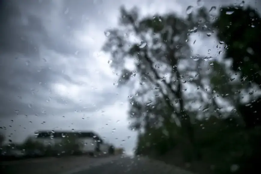
While the mountains turn wintry, Denver stays unseasonably warm but turns wetter. A slight chance for showers develops late Wednesday night into early Thursday (ET), on the order of about 20%. Shower coverage becomes more likely Thursday morning (ET), with another uptick by Thursday night (ET) when the rain chance reaches around 40%. Between breaks, skies look mostly cloudy, and streets may be intermittently damp.
The setup is atypical for February, skewing more toward a Pacific-style pattern that favors high-country snow but leans rainy on the plains. Even light showers will be enough to put a sheen on roadways for the Thursday commute, so allow a little extra time and keep headlights on in passing showers.
Temperatures: mild now, warmer for the holiday
Despite the midweek wet stretch, daytime temperatures around Denver hold in the mid- to upper-50s, keeping any precipitation as liquid at lower elevations. Sunshine looks set to return Saturday (ET), with a few clouds Sunday (ET). The warm-up accelerates into President’s Day, when highs are expected to push into the lower 60s around the metro, offering a springlike feel for the long weekend.
Nights remain seasonably cool, but the broader trend favors above-average daytime warmth on the plains, even as the mountains keep stacking snow through the latter part of the week.
Travel and safety: check winter weather warnings before you go
Those heading into the high country through Sunday (ET) should keep close tabs on winter weather warnings and advisories that may be issued for passes and resort corridors. Conditions can vary dramatically with elevation and timing of snow bands, and windows of manageable driving can quickly give way to low visibility and snow-packed surfaces. If plans are flexible, travel during daylight and outside the most active snow periods, and carry chains or traction devices if your route or vehicle may require them.
In the metro, wet roads and occasional showers are the main concerns, with brief reductions in visibility under heavier cells. Urban flooding is not a primary signal in this setup, but ponding is possible in areas with poor drainage during steadier showers.
Drought relief prospects
Both the mountain snow and Denver’s rain offer a modest, welcome assist to parched ground. The mid- and late-week precipitation helps chip away at ongoing drought across parts of the state, with mountain snowfall especially valuable for snowpack and later-season water supply. Single systems rarely flip the broader drought narrative, but a multi-day stretch of snow in the high terrain paired with plain-level showers is a helpful step.
As stronger March systems loom on the seasonal horizon, each round of February moisture builds a more resilient base heading into spring runoff.
What to watch next
Key signals to monitor in the coming days include how persistent the mountain snow remains through the weekend and whether shower chances in Denver linger beyond Thursday into any secondary waves. Any enhancement in upslope flow or a colder push could expand snow potential onto the foothills; for now, the plains favor rain, with warmth rebuilding by the holiday.
Bottom line: plan for periods of difficult mountain travel through Sunday (ET) and keep a rain jacket handy in Denver through Thursday (ET). Reassess conditions frequently, and check for updated winter weather warnings if your route crosses the high country. The payoff arrives over the weekend, with a sunnier sky and a springlike feel for President’s Day.
