


N.J. Weather Alert: Weekend Storm Brings Snow, High Winds, Flooding Risks
A significant weather alert has been issued for New Jersey as a powerful storm approaches over the weekend. Wind speeds may reach 50 mph, raising concerns for coastal flooding and the possibility of snow accumulation.
Storm Overview and Expected Impacts
The National Weather Service is monitoring a developing coastal storm, projected to form off the southeast coast on Saturday. This storm is anticipated to bring a mix of severe weather conditions, including snow, high winds, and risks of coastal flooding.
According to the National Weather Service, the likelihood of impacts is increasing, particularly for coastal regions. They stated, “Confidence is increasing in at least some impacts for the coast, particularly from strong winds and potential coastal flooding.”
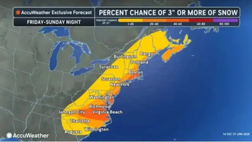
Potential for Snow
The exact snowfall amounts remain uncertain and depend on the storm’s track. However, here are the current probabilities for snow accumulation:
- More than 2 inches:
- 60% near the Jersey Shore
- 50% for the I-95 corridor
- Lower probabilities northwest of I-95
- 6+ inches:
- 50% near the Jersey Shore
- 40% for the I-95 corridor
Wind and Cold Weather Advisory
Irrespective of snowfall, high winds are likely to affect the region. Expect northeast winds of 15 to 25 mph, with gusts reaching up to 50 mph along coastal areas on Sunday. By Sunday evening, the storm is expected to shift northeast, leading to calmer weather early next week.
In addition to storm risks, New Jersey is facing dangerously low temperatures this week. Wind chills could drop below zero, with record-breaking lows anticipated on Thursday and Friday.
Current Weather Outlook
A cold weather advisory is in effect for nearly the entire state until 10 a.m. Wednesday. Wind chill values tonight may range from zero to ten degrees below zero, particularly in the northern areas.
The coming days will see highs in the teens to low 20s, followed by very cold nights. Morning lows throughout the week are likely to dip into the single digits or below zero, as Arctic air continues to affect the area.
Safety Precautions
Residents are advised to stay informed and exercise caution during this period of severe weather. The National Weather Service urges everyone to take the prolonged Arctic cold seriously, especially when spending time outdoors.
For continuous updates, visit Filmogaz.com.